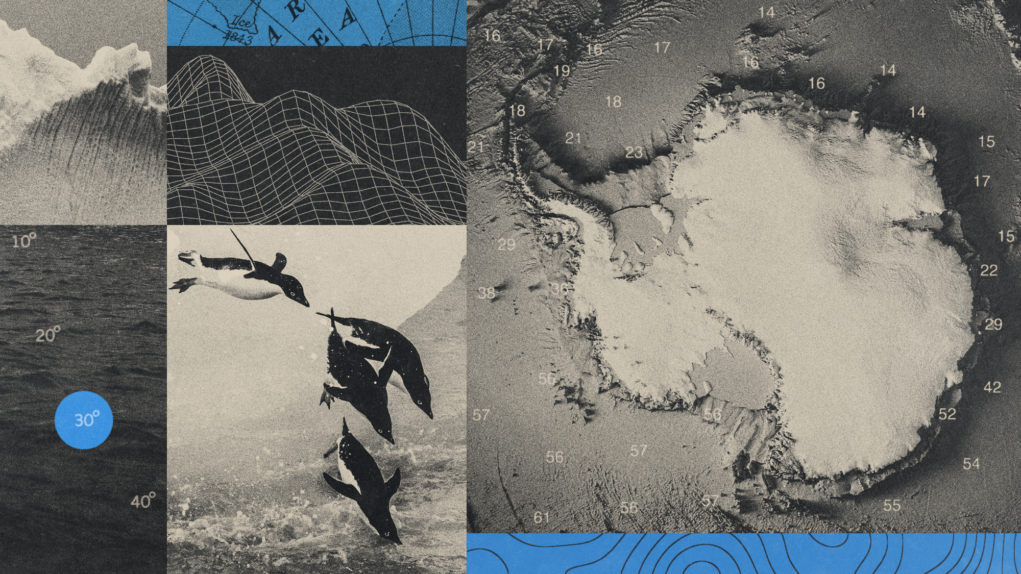
Beneath Antarctica’s vast expanse of ice sit hundreds of canyons, some up to tens of thousands of feet deep. These complex formations under a seemingly barren landscape play a significant role in global climate change and ocean circulation – and studying them could lead to better climate models and predictions.
Scientists have mapped 332 underwater canyons in Antarctica, according to a research article published in the journal Marine Geology. Some of these are deeper than 4,000 meters (over 13,000 feet). Scientists posit that the canyons “may have a more significant impact than previously thought on ocean circulation, ice-shelf thinning and global climate change, especially in vulnerable areas such as the Amundsen Sea and parts of East Antarctica”, said David Amblàs, part of the Consolidated Research Group on Marine Geosciences at the University of Barcelona and one of the authors of the article.
Submarine canyons are “vitally important to ecological, oceanographic and geological processes worldwide”, said Discover magazine. The canyons “facilitate water exchange between the deep ocean and the continental shelf, allowing cold, dense water formed near ice shelves to flow into the deep ocean and form what is known as Antarctic Bottom Water”, said a University of Barcelona statement. They also do the reverse, where they transport “warmer ocean waters from the sea towards the coastline”, which helps “maintain and stabilise Antarctica’s interior glaciers”, said Discover.
Scientists have identified approximately 10,000 submarine canyons globally, but most remain unexplored, particularly those in polar regions. “Mapping the seafloor and its influence on the movement of water is necessary to build accurate ocean circulation models,” said The Guardian. |