This is what 4 feet of lake-effect snow in 12 hours looks like
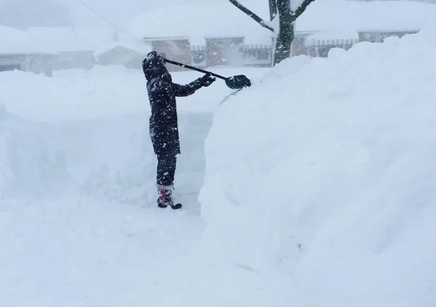
The same frigid airmass bringing freezing temperatures to every state in the country is delivering an extremely intense — but incredibly localized — blizzard to parts of New York. The storm is the result of lake-effect snow, in which cold air running over the relatively warm waters of the Great Lakes picks up moisture and drops it in narrow bands of heavy snow that can persist as long as the cold winds blow. The blizzard is so localized that people in Buffalo, New York could see the storm just a couple of miles to their south:
The Week
Escape your echo chamber. Get the facts behind the news, plus analysis from multiple perspectives.

Sign up for The Week's Free Newsletters
From our morning news briefing to a weekly Good News Newsletter, get the best of The Week delivered directly to your inbox.
From our morning news briefing to a weekly Good News Newsletter, get the best of The Week delivered directly to your inbox.

