Some chunks of Texas are on the Mexico side of the border wall

A free daily email with the biggest news stories of the day – and the best features from TheWeek.com
You are now subscribed
Your newsletter sign-up was successful
Washington, D.C. has apparently never heard of a map.
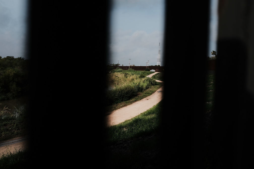
Wherever there's a wall across America's southern border, it's pretty clear where the U.S. ends and Mexico begins. But when a span of the wall went up to block migration across the Rio Grande, it ended up putting entire Texas communities in what looks like Mexican territory — not that it's stopped those U.S. residents from getting around, The New York Times details.
Brownsville, Texas' story starts in 1970, when the U.S. and Mexico agreed to block construction of "anything that would obstruct the normal flow of the Rio Grande," the Times writes. That became a problem when former President George W. Bush's administration's started building a border wall to curb drug smuggling. But instead of putting the wall right on the river's edge, the "bunch of yo-yos up in D.C." built it "a mile and a half away" in some points, one Texan who owns land south of the fence tells the Times.
The Week
Escape your echo chamber. Get the facts behind the news, plus analysis from multiple perspectives.
Sign up for The Week's Free Newsletters
From our morning news briefing to a weekly Good News Newsletter, get the best of The Week delivered directly to your inbox.
From our morning news briefing to a weekly Good News Newsletter, get the best of The Week delivered directly to your inbox.
Still, life goes on for the dozens of Americans stuck between the fence and the river. Trash collectors usually don't come, and neither does the mail, but Brownsville emergency responders still say they'll get to someone south of the fence just as quickly as someone north of it. After all, there's a paved road running right through the wall.
President Trump has spent his entire candidacy and presidential term pushing for a wall he says will curb immigration. Yet border crossers who make it across the Rio Grande in Brownsville reach U.S. soil — and the right to claim asylum — before they even see a fence. Read more at The New York Times.
A free daily email with the biggest news stories of the day – and the best features from TheWeek.com
Kathryn is a graduate of Syracuse University, with degrees in magazine journalism and information technology, along with hours to earn another degree after working at SU's independent paper The Daily Orange. She's currently recovering from a horse addiction while living in New York City, and likes to share her extremely dry sense of humor on Twitter.
-
 5 cinematic cartoons about Bezos betting big on 'Melania'
Cartoons Artists take on a girlboss, a fetching newspaper, and more
-
 The fall of the generals: China’s military purge
In the Spotlight Xi Jinping’s extraordinary removal of senior general proves that no-one is safe from anti-corruption drive that has investigated millions
-
 Why the Gorton and Denton by-election is a ‘Frankenstein’s monster’
Talking Point Reform and the Greens have the Labour seat in their sights, but the constituency’s complex demographics make messaging tricky
-
 Nobody seems surprised Wagner's Prigozhin died under suspicious circumstances
Speed Read
-
 Western mountain climbers allegedly left Pakistani porter to die on K2
Speed Read
-
 'Circular saw blades' divide controversial Rio Grande buoys installed by Texas governor
Speed Read
-
 Los Angeles city workers stage 1-day walkout over labor conditions
Speed Read
-
 Mega Millions jackpot climbs to an estimated $1.55 billion
Speed Read
-
 Bangladesh dealing with worst dengue fever outbreak on record
Speed Read
-
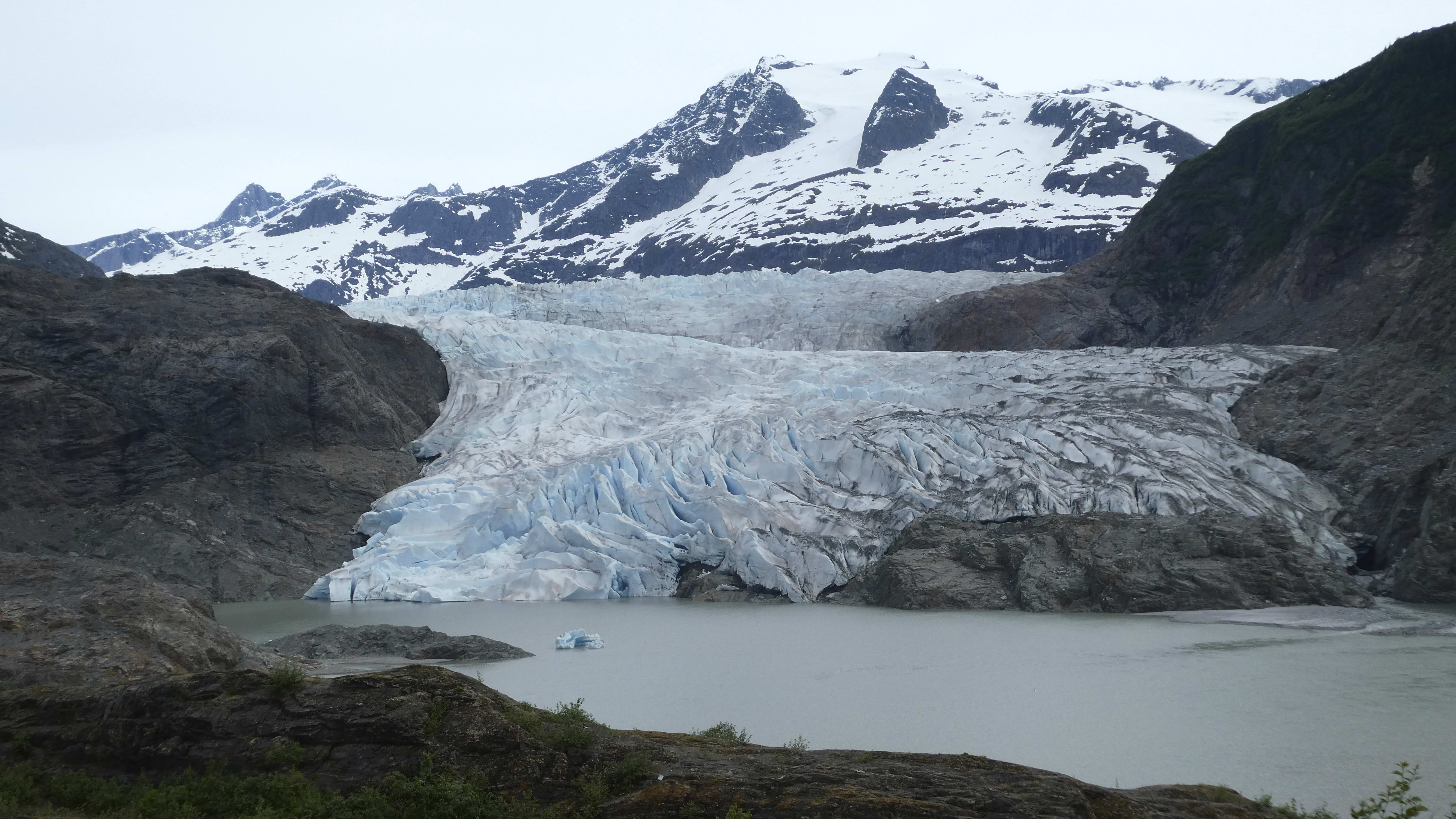 Glacial outburst flooding in Juneau destroys homes
Speed Read
-
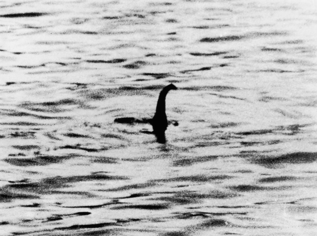 Scotland seeking 'monster hunters' to search for fabled Loch Ness creature
Speed Read
