Maps: Finding Our Place in the World
This exhibit of
A free daily email with the biggest news stories of the day – and the best features from TheWeek.com
You are now subscribed
Your newsletter sign-up was successful
Maps: Finding Our Place in the World
Field Museum, Chicago
Through Jan. 27
The Week
Escape your echo chamber. Get the facts behind the news, plus analysis from multiple perspectives.

Sign up for The Week's Free Newsletters
From our morning news briefing to a weekly Good News Newsletter, get the best of The Week delivered directly to your inbox.
From our morning news briefing to a weekly Good News Newsletter, get the best of The Week delivered directly to your inbox.
This exhibit of “more than 130 exquisite original maps, globes, and artifacts” is merely the centerpiece of a citywide Festival of Maps, said Dave Hoekstra in the Chicago Sun-Times. “No map exhibition of this scale has been attempted” in at least 50 years. Galleries teem with every imaginable sort of map, from interactive displays to renditions of fictional lands, such as J.R.R. Tolkien’s carefully prepared surveys of Middle-earth. Highlights include “the oldest road map of Britain,” dating to 1360, and three maps by Leonardo da Vinci, on loan from Queen Elizabeth herself. But “the exhibit deliberately sets out to expand a visitor’s definition of a map. The show’s opening gallery includes Harry Beck’s famous map of the London Underground right alongside Inuit woodcarvings that outline inlets along the coast of Greenland.
The show traces our changing relationship to the maps we create to describe our world, said Kari Lydersen in The Washington Post. Medieval maps were often as fanciful as they were useful. As European countries began to create overseas empires, “mapmaking was a way to lay down stakes.” Maps drawn by different countries’ surveyors created implicit claims to certain territories. A map from 1755 at the nearby Newberry Library “shows states such as South Carolina, Georgia, and Virginia stretching infinitely west in long horizontal strips, implying an endless claim to that latitude.” As wilderness and jungles were settled, maps lost their whimsical and speculative aspects to become descriptive, technical documents. In our own time, with the rise of the Internet, maps now needn’t even be works on paper. Yet thanks to such devices as in-car navigational systems and Google Maps, “rather than distance us from cartography, technology has made mapping part of everyday life” to an unprecedented degree.
A free daily email with the biggest news stories of the day – and the best features from TheWeek.com
-
 Democrats push for ICE accountability
Feature U.S. citizens shot and violently detained by immigration agents testify at Capitol Hill hearing
-
 The price of sporting glory
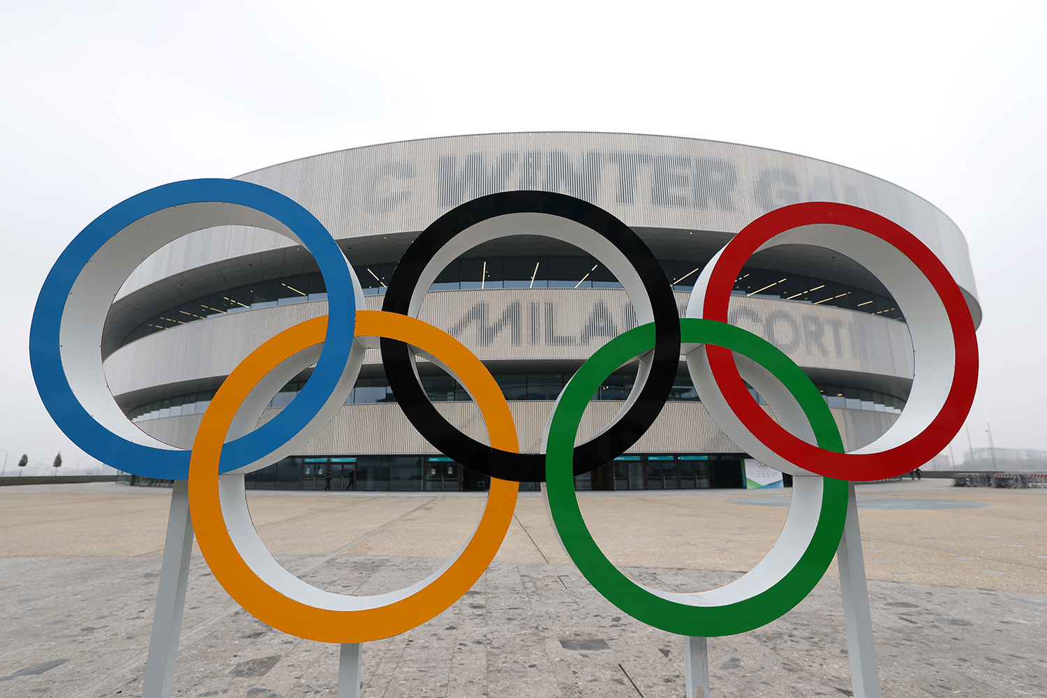
Feature The Milan-Cortina Winter Olympics kicked off this week. Will Italy regret playing host?
-
 Fulton County: A dress rehearsal for election theft?
Feature Director of National Intelligence Tulsi Gabbard is Trump's de facto ‘voter fraud’ czar
-
If/Then
feature Tony-winning Idina Menzel “looks and sounds sensational” in a role tailored to her talents.
-
Rocky
feature It’s a wonder that this Rocky ever reaches the top of the steps.
-
Love and Information
feature Leave it to Caryl Churchill to create a play that “so ingeniously mirrors our age of the splintered attention span.”
-
The Bridges of Madison County
feature Jason Robert Brown’s “richly melodic” score is “one of Broadway’s best in the last decade.”
-
Outside Mullingar
feature John Patrick Shanley’s “charmer of a play” isn’t for cynics.
-
The Night Alive
feature Conor McPherson “has a singular gift for making the ordinary glow with an extra dimension.”
-
No Man’s Land
feature The futility of all conversation has been, paradoxically, the subject of “some of the best dialogue ever written.”
-
The Commons of Pensacola
feature Stage and screen actress Amanda Peet's playwriting debut is a “witty and affecting” domestic drama.