Satellite photos show how Hurricane Irma denuded entire Caribbean islands
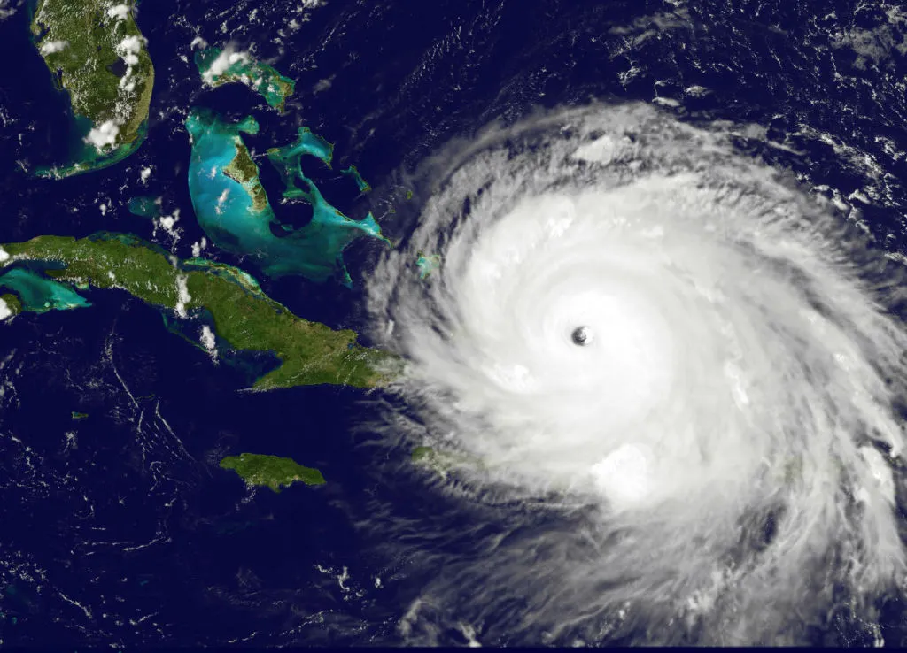
Hurricane Irma, now a tropical depression, left much of Florida and parts of Georgia and South Carolina drenched or underwater and without power on Monday, but back when it was a Category 5 hurricane out in the Atlantic, it absolutely decimated several Caribbean Islands. A new time-lapse satellite video from NASA of Irma moving from the mid-Atlantic to Florida shows how the hurricane passed directly over some islands, like Barbuda, and raked others with its long outer bands.

The Week
Escape your echo chamber. Get the facts behind the news, plus analysis from multiple perspectives.

Sign up for The Week's Free Newsletters
From our morning news briefing to a weekly Good News Newsletter, get the best of The Week delivered directly to your inbox.
From our morning news briefing to a weekly Good News Newsletter, get the best of The Week delivered directly to your inbox.
