Britain from above
Newly revealed collection of aerial images track more than six decades of change in Britain
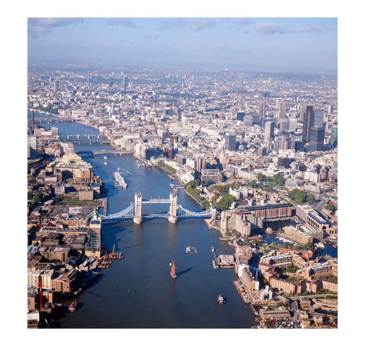
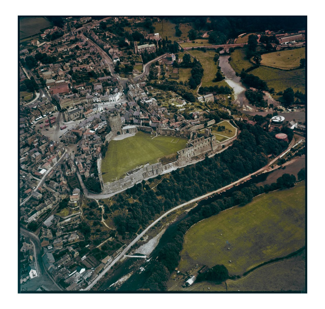
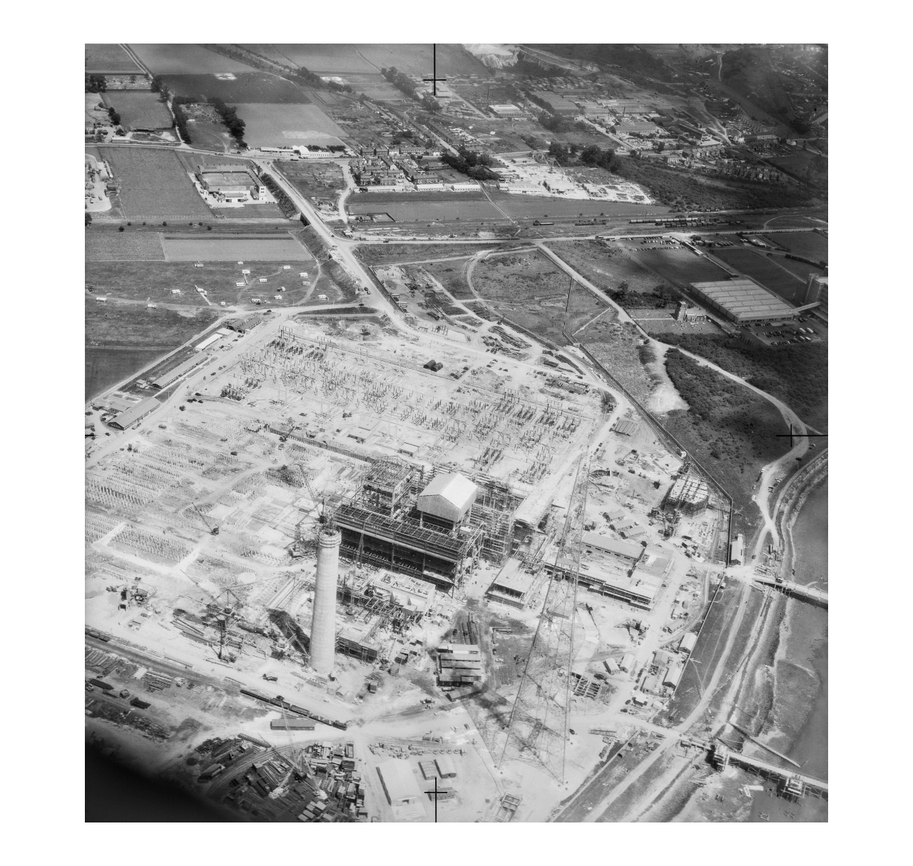
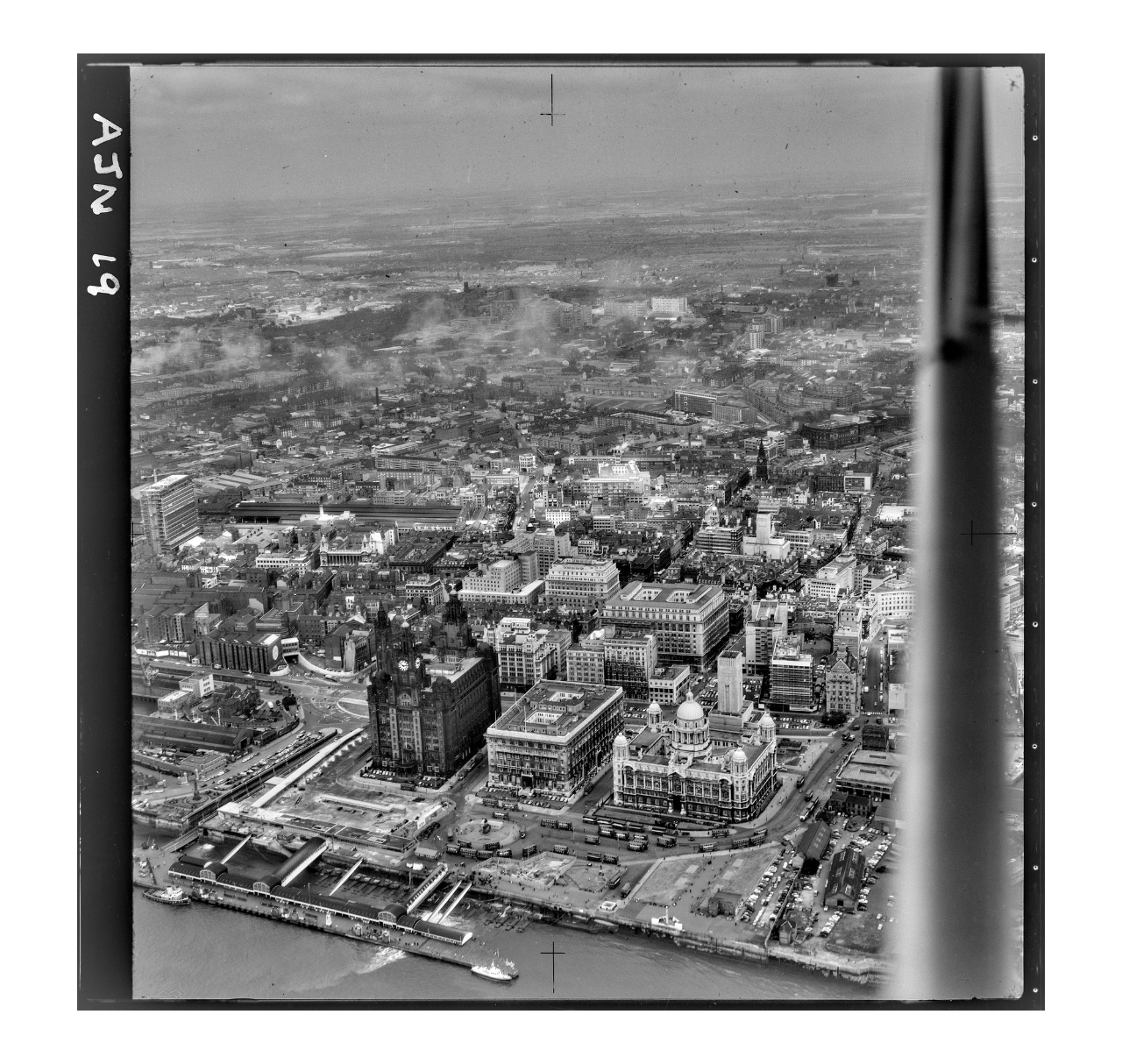

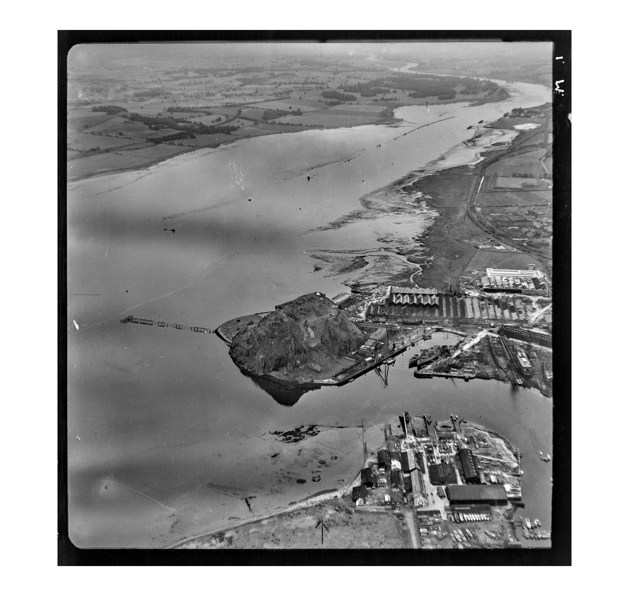
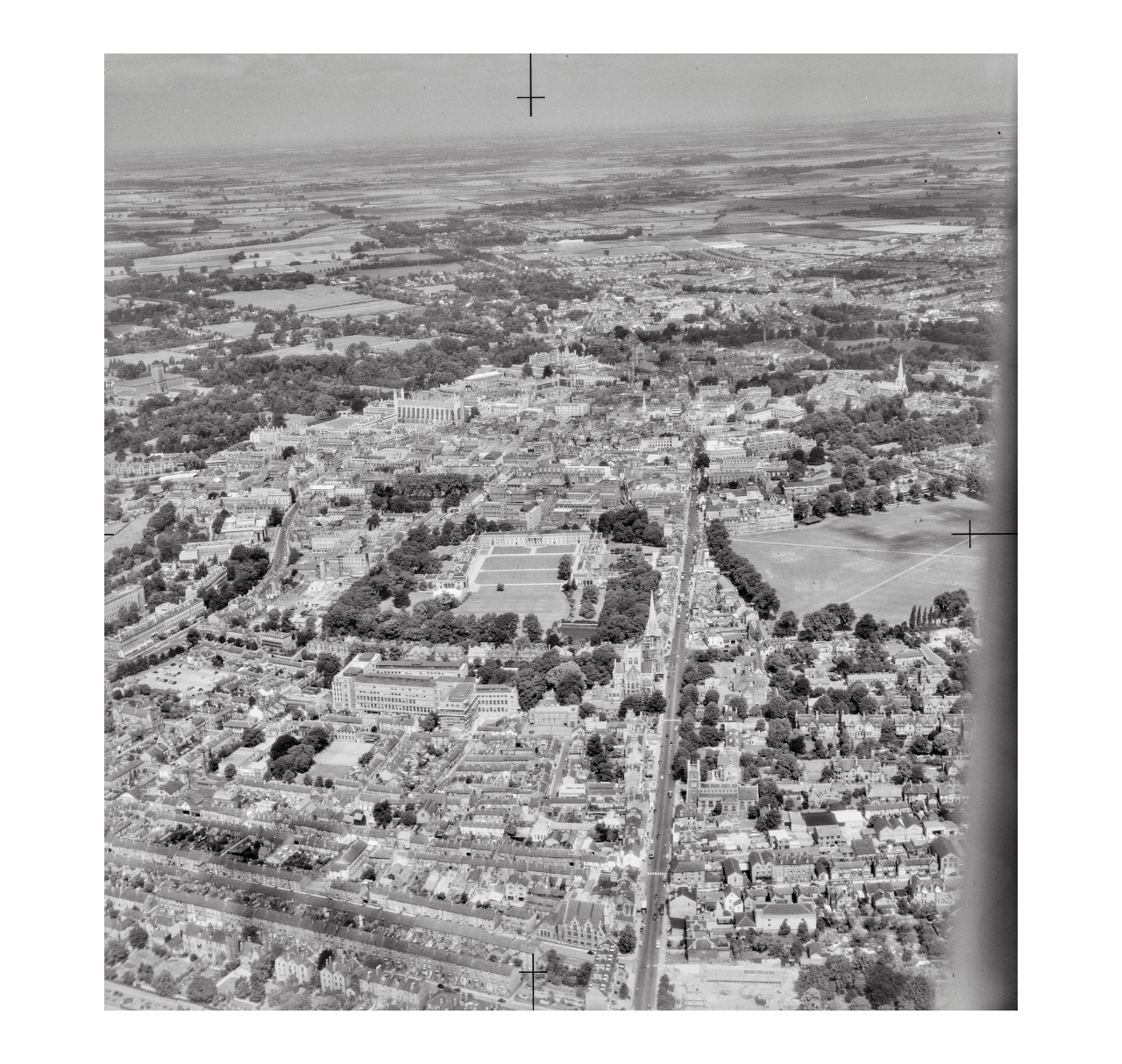
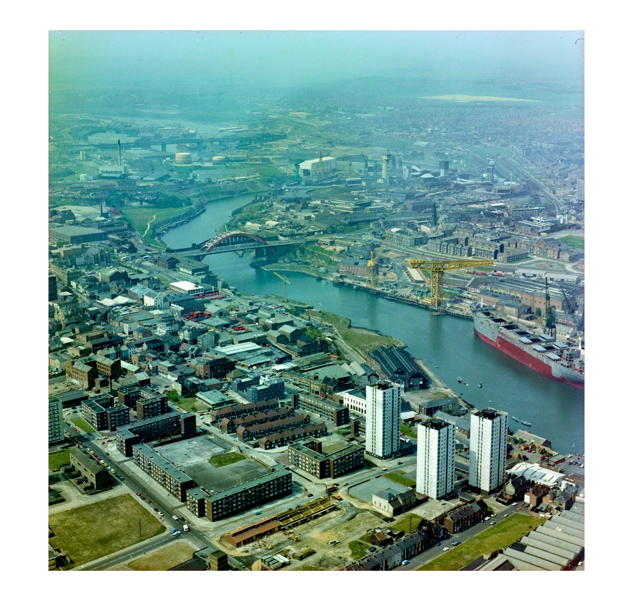
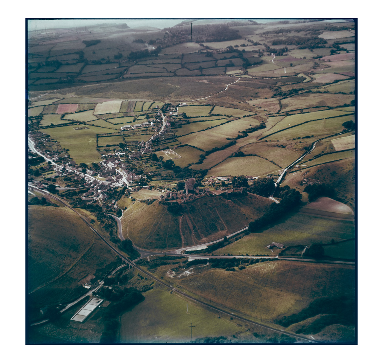
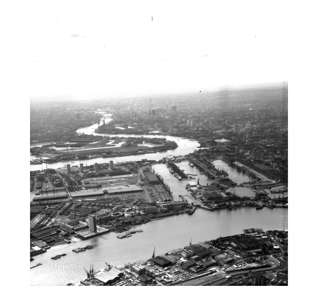
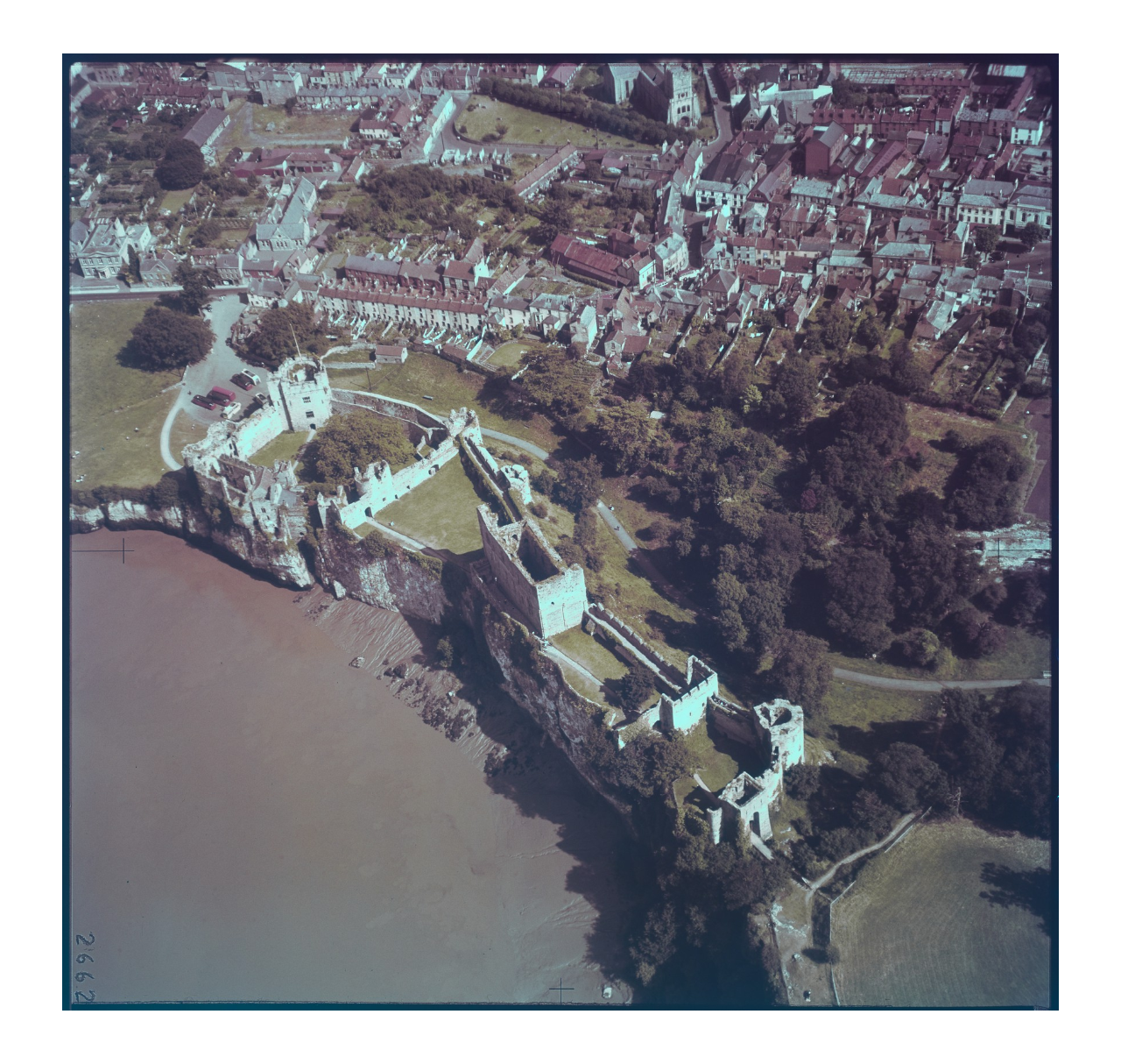
A newly revealed collection of aerial images that track more than six decades of change in Britain is being hailed as a “historical Google Earth”.
Academics have painstakingly digitised a total of 1,500 images from original slides and negatives, all of which are now freely available on the Cambridge University Digital Library.
The photos selected for the pilot scheme were whittled down from a total of almost half a million.
The Week
Escape your echo chamber. Get the facts behind the news, plus analysis from multiple perspectives.

Sign up for The Week's Free Newsletters
From our morning news briefing to a weekly Good News Newsletter, get the best of The Week delivered directly to your inbox.
From our morning news briefing to a weekly Good News Newsletter, get the best of The Week delivered directly to your inbox.
The collection dates back to 1945, with the earlier images taken “by former wartime RAF pilots at the instruction of the Cambridge archaeologist Kenneth St Joseph”, adds The Guardian. In 1965, the university bought its own plane, a Cessna Skymaster, which was then flown across Britain taking high-resolution photos.
“This is sort of like a historical Google Earth,” Cambridge archaeology professor Martin Millett told the newspaper.
“You’re seeing fascinating changes in the city and the landscape in the period the photographs were taken. There’s a social modern history about industrialisation and agricultural change.”
In an article accompanying the release of the images, geography professor Tom Spencer said that the “fantastic” archive reveals “coastal change, discoveries of archaeological sites and the pre-and post-industrial landscapes of Britain”.
A free daily email with the biggest news stories of the day – and the best features from TheWeek.com
“We are sure that the collection will be of interest to a very wide audience in academia, interested amateurs and the general public,” he added.
The library ultimately aims to digitise the entire 497,079-strong collection.
-
 Why quitting your job is so difficult in Japan
Under the Radar Reluctance to change job and rise of ‘proxy quitters’ is a reaction to Japan’s ‘rigid’ labour market – but there are signs of change
-
 Gavin Newsom and Dr. Oz feud over fraud allegations
In the Spotlight Newsom called Oz’s behavior ‘baseless and racist’
-
 ‘Admin night’: the TikTok trend turning paperwork into a party
The Explainer Grab your friends and make a night of tackling the most boring tasks
-
 Home Office worker accused of spiking mistress’s drink with abortion drug
Speed Read Darren Burke had failed to convince his girlfriend to terminate pregnancy
-
 In hock to Moscow: exploring Germany’s woeful energy policy
Speed Read Don’t expect Berlin to wean itself off Russian gas any time soon
-
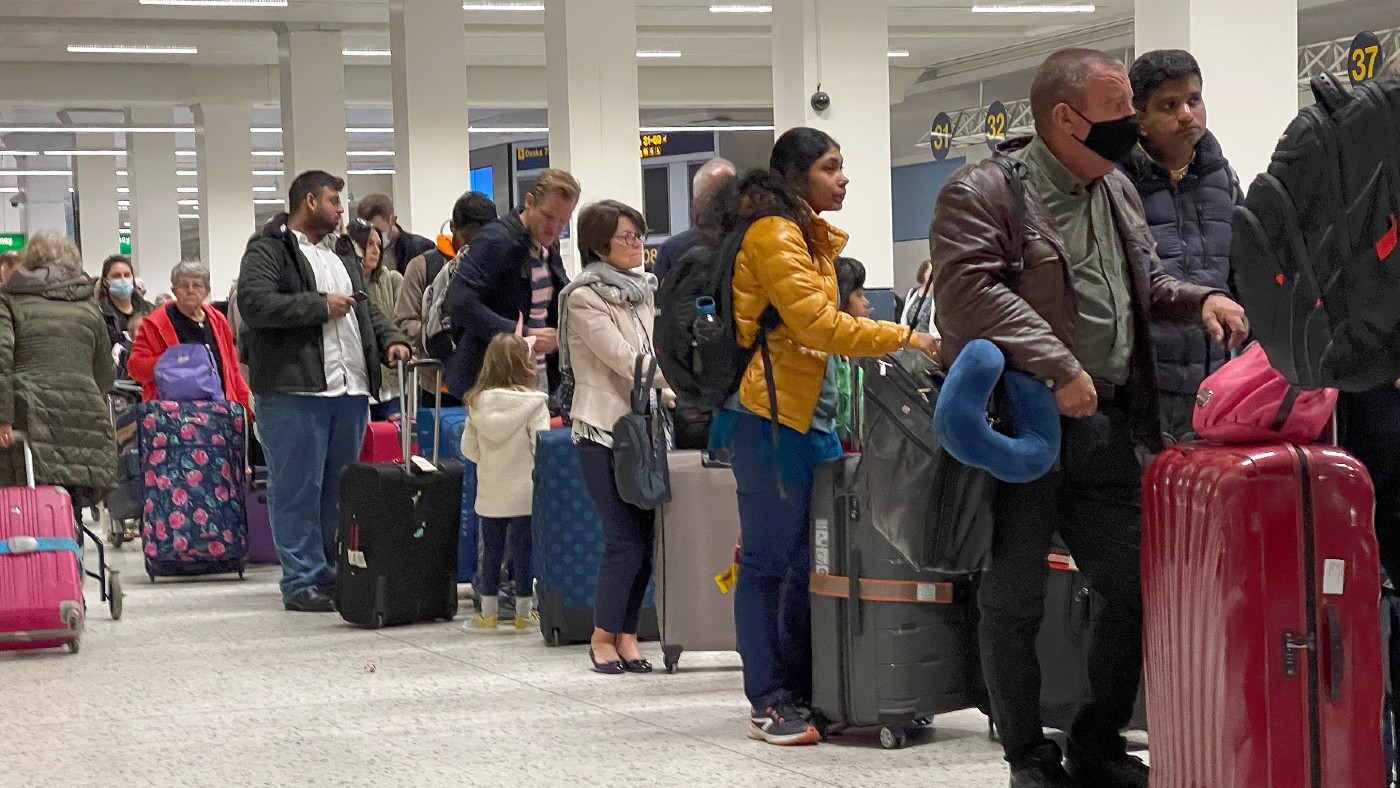 Were Covid restrictions dropped too soon?
Speed Read ‘Living with Covid’ is already proving problematic – just look at the travel chaos this week
-
 Inclusive Britain: a new strategy for tackling racism in the UK
Speed Read Government has revealed action plan setting out 74 steps that ministers will take
-
 Sandy Hook families vs. Remington: a small victory over the gunmakers
Speed Read Last week the families settled a lawsuit for $73m against the manufacturer
-
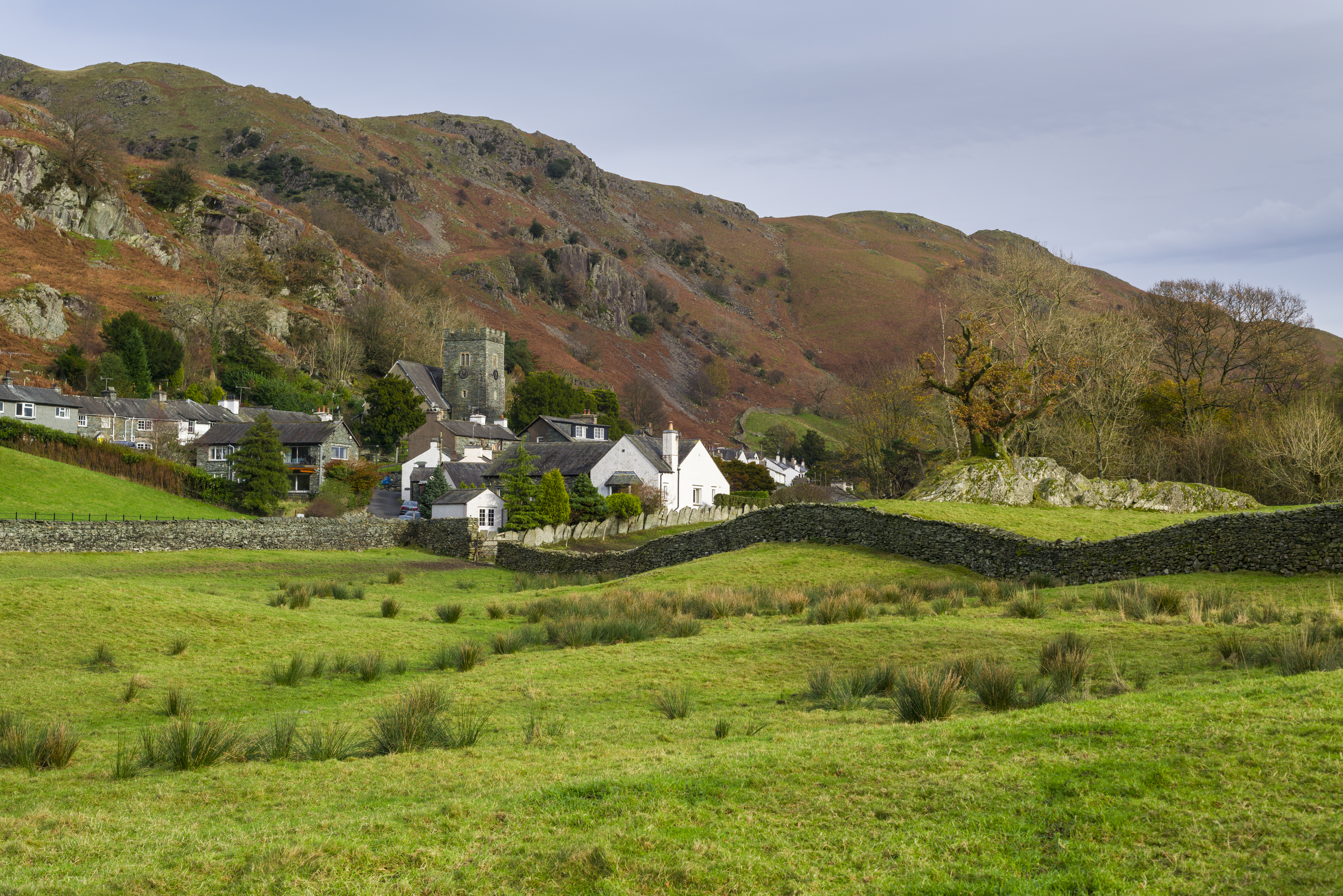 Farmers vs. walkers: the battle over ‘Britain’s green and pleasant land’
Speed Read Updated Countryside Code tells farmers: ‘be nice, say hello, share the space’
-
 Motherhood: why are we putting it off?
Speed Read Stats show around 50% of women in England and Wales now don’t have children by 30
-
 Anti-Semitism in America: a case of double standards?
Speed Read Officials were strikingly reluctant to link Texas synagogue attack to anti-Semitism