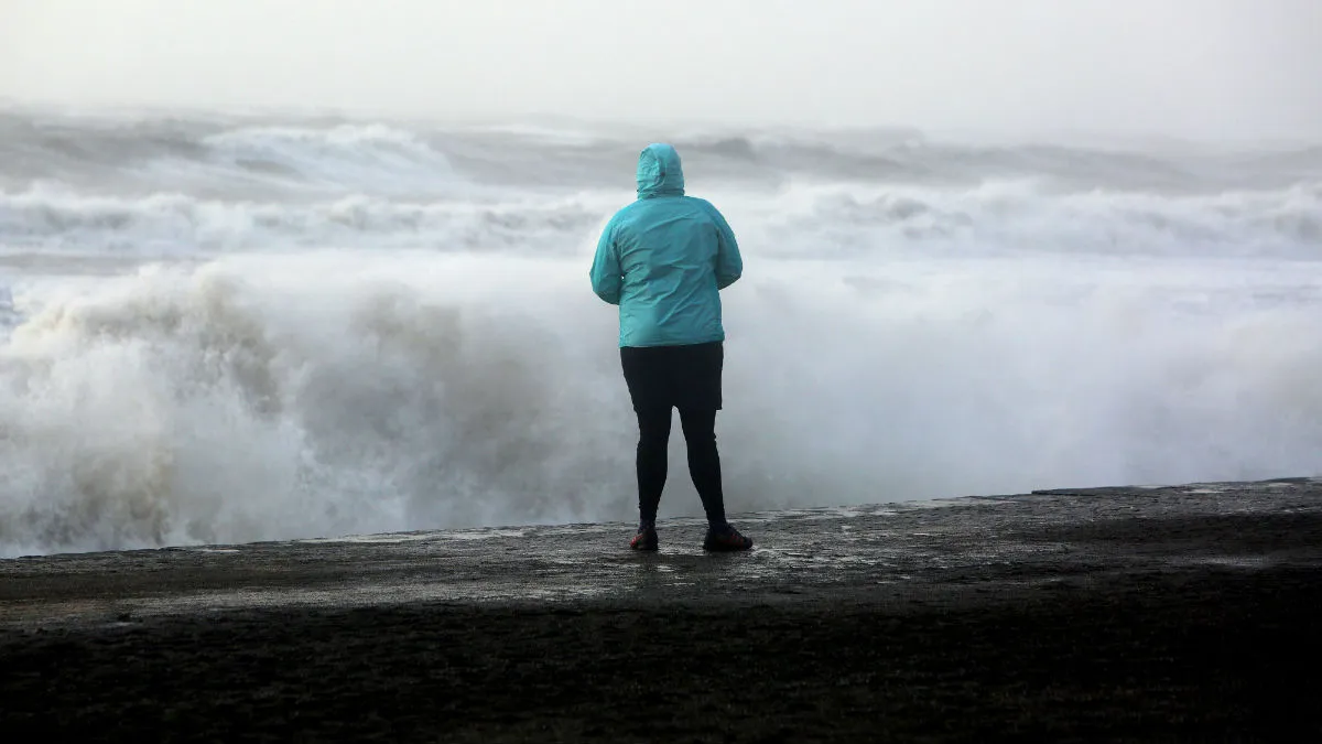
Winds of up to 80mph are expected in parts of England and Wales today as Storm Barney hits Britain from the west – and the public are being warned not to get carried away, literally, when taking selfies in front of dramatic waves.
The Royal Society for the Prevention of Accidents (RoSPA) and the Environment Agency have jointly warned thrill seekers that they will be putting themselves at risk if they pose for photos during the storm, says Sky News.
A spokesman for RoSPA, David Walker, said: "We understand the temptation to view powerful tides and weather conditions.
The Week
Escape your echo chamber. Get the facts behind the news, plus analysis from multiple perspectives.
SUBSCRIBE & SAVE
Sign up for The Week's Free Newsletters
From our morning news briefing to a weekly Good News Newsletter, get the best of The Week delivered directly to your inbox.
From our morning news briefing to a weekly Good News Newsletter, get the best of The Week delivered directly to your inbox.
Latest Videos From
"However, if you get caught up or swept out to sea in these events, your life will be at risk very quickly and our rescue services will also be at great risk."
The Environment Agency's Craig Woolhouse warned people to "stay away from raging rivers" and floodwaters. "With so much standing water around, we ask people to stay out of flood water" and not to "walk or drive through it," he said.
The Met Office has issued 'yellow' warnings advising people to 'be aware' of high winds in Wales and in central, southern and eastern England this afternoon and evening.
There are also yet more rain warnings for north-west England and Wales after a weekend of torrential downpours brought to the UK by Storm Abigail caused floods in Wales, Cumbria and north-east England, reports the BBC.
Barney is expected to bring winds of 80mph on the coast of Wales. The south of England is more likely to experience 75mph, while inland areas – particularly up the Bristol Channel – will face 70mph gusts.
The overall flood risk is decreasing but rain falling on already saturated ground means flood warnings are still in place. The strong winds will cause large waves which could breach coastal defences, the Environment Agency warns.
Severe gales will also affect parts of western Scotland tomorrow with gusts of up to 60mph.