It might be time to add a new hurricane category
Any way the wind blows


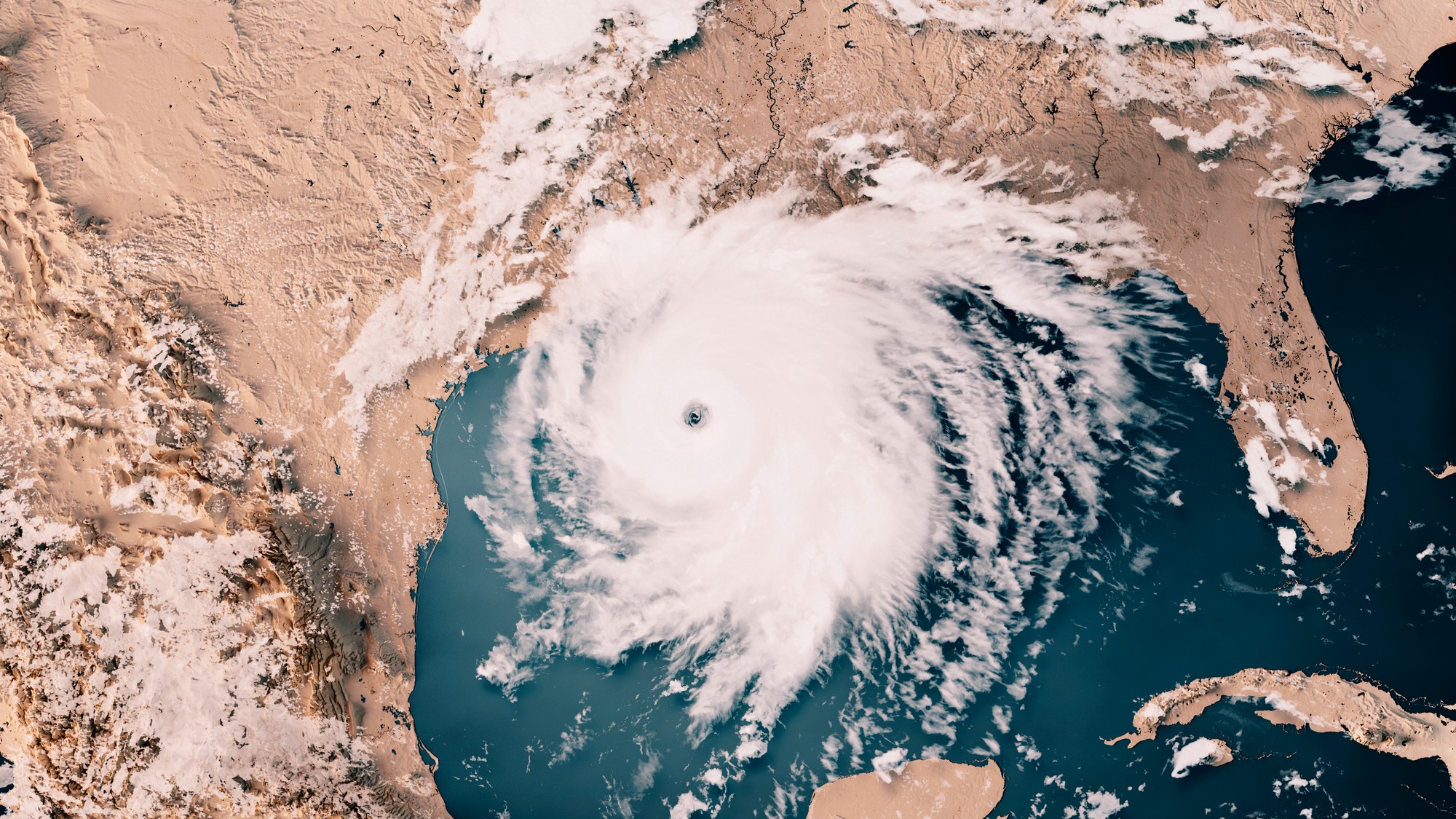
There are stormier skies ahead and our scaling system needs to catch up. Experts warn that an extra hurricane category might become necessary to accommodate worsening storms and higher wind speeds. Adding a category could raise the public's awareness surrounding the dangers of an impending storm — but it could also backfire, if people assume they only need to take cover before the most dangerous category hits. The current hurricane categorization also does not take factors other than wind into account — so some experts claim it is already not an accurate reflection of storm severity.
Blowing boundaries
Hurricane wind intensity is measured using the Saffir-Simpson Hurricane Wind Scale, rating storms on a 1 to 5 basis. Category 5 storms are the most intense, and in order for a storm to be rated a 5, winds must reach or exceed 157 miles per hour. However, according to a new study published in the journal Proceedings of the National Academy of Sciences, a Category 6 may be needed to accommodate the increasing intensity of hurricanes and "to distinguish between extreme storms and, well, extremely extreme storms," said The Atlantic.
Climate change has steadily made weather patterns more extreme, and hurricanes are no exception. A hypothetical Category 6 hurricane would have winds of 192 miles per hour or higher, a threshold that has been met by five hurricanes and typhoons in the past decade. The Saffir-Sampson scale was created in the 1970s, and at the time, Category 5 storms were relatively rare. Now, the planet is "experiencing a new class of monster storms," Michael Mann, a climate scientist and the director of the Penn Center for Science, Sustainability & the Media at the University of Pennsylvania, said to USA Today.
Article continues belowThe Week
Escape your echo chamber. Get the facts behind the news, plus analysis from multiple perspectives.

Sign up for The Week's Free Newsletters
From our morning news briefing to a weekly Good News Newsletter, get the best of The Week delivered directly to your inbox.
From our morning news briefing to a weekly Good News Newsletter, get the best of The Week delivered directly to your inbox.
The scale is mostly used as a warning system for those who will be geographically hit by the storm. "Having [Category 5] mean anything above a certain threshold is becoming more and more problematic," James Kossin, a co-author of the study, said to The Washington Post , because "it tends to understate the risk." Adding a category could better inform the public of the potential catastrophic damage caused by a hurricane. The study also found that the "annual chances of a Category 6 forming somewhere on the planet would climb to 2 percent at 1.5 degrees [Celsius] of global warming, 7 percent at 2 degrees of warming and 10 percent at 3 degrees of warming."
Missing considerations
Some people do not see the need to include a new category. "Category 5 is probably sufficient as a messaging tool to provoke the highest level of alert and risk preparation," Marshall Shepherd, the director of the University of Georgia's Atmospheric Sciences Program, said in Forbes. The Saffir-Sampson scale only takes wind into consideration, but hurricanes can also elicit deadly storm surges and flooding from rainfall. "We don't want to over-emphasize the wind hazard by placing too much emphasis on the category," Jamie Rhome, the deputy executive director of the National Hurricane Center (NHC), said to USA Today.
There's a risk that a new category could "diminish the threat of a Category 5 storm, since that is no longer the most severe rating," Michael Fischer, an assistant scientist at the National Oceanic and Atmospheric Administration's (NOAA) Atlantic Oceanographic and Meteorological Lab, said to the Post. Instead, the NHC is testing a newer version of its "forecast cone" which communicates that a "storm's wind hazards extend far from the spot at which its eye is predicted to make landfall." Additionally, the NHC director Michael Brennan said the NOAA has "tried to steer the focus toward the individual hazards," including storm surges and rainfall, instead of only focusing on wind.
A free daily email with the biggest news stories of the day – and the best features from TheWeek.com
Devika Rao has worked as a staff writer at The Week since 2022, covering science, the environment, climate and business. She previously worked as a policy associate for a nonprofit organization advocating for environmental action from a business perspective.
