What to expect from the weather this spring
Welcome to a season of extremes


The National Oceanic and Atmospheric Administration (NOAA) released its Spring Outlook detailing what to expect of the weather in the upcoming season. Here's everything you need to know:
What does NOAA predict?
NOAA has predicted a spring of extreme weather events. "Climate change is driving both wet and dry extremes, as illustrated by NOAA's observations and data that inform this seasonal outlook," said NOAA administrator Rick Spinrad.
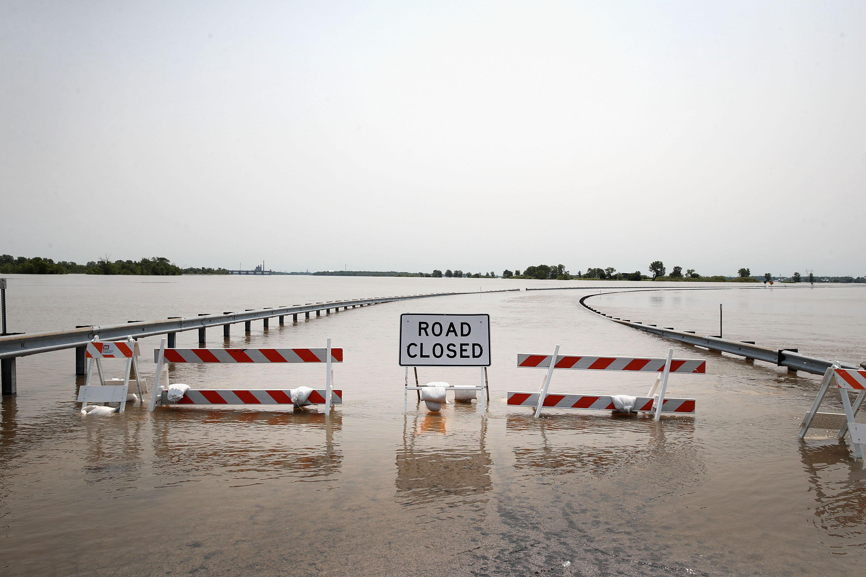
According to the report, 44 percent of the U.S. is at risk for flooding, ABC News says. NOAA predicts "above-average precipitation" across the Great Lakes, Ohio Valley, and into parts of the mid-Atlantic and Northeast. "The abnormally wet winter" will ease drought conditions in western parts of the U.S., NOAA adds. "Moderate to exceptional drought coverage across the U.S. is at its lowest since August 2020 and is likely to continue improving."
The Week
Escape your echo chamber. Get the facts behind the news, plus analysis from multiple perspectives.

Sign up for The Week's Free Newsletters
From our morning news briefing to a weekly Good News Newsletter, get the best of The Week delivered directly to your inbox.
From our morning news briefing to a weekly Good News Newsletter, get the best of The Week delivered directly to your inbox.
The Southwest and parts of the Pacific Northwest, however, is seeing less precipitation than normal, reports USA Today, adding that the rest of the country has "equal chances" of high or low precipitation. NOAA also announced the end of La Niña, a weather phenomenon that occurs "when ocean temperatures are cooler than normal and rainfall is reduced in the eastern to central Pacific Ocean." La Niña contributed to the warm winter as well as the west coast rainfall.
In terms of temperatures, the southern and eastern parts of the U.S. are in for a warmer spring. The high temperatures will increase the risk of wildfires. "The highest concern now is the Florida peninsula," said Jon Gottschalck, a forecaster at NOAA's Climate Prediction Center.
What's causing these strange weather patterns?
La Niña lasted an unprecedented three years, exacerbating rainfall and warm temperatures throughout the country. The conditions are "neutral" or in "the transition period between El Niño and La Niña," with the chance of El Niño (warmer Pacific Ocean temperatures) occurring later in the year. There is a "still somewhat-La Niña-ish atmosphere," according to NOAA, but the neutral conditions can "make spring more unpredictable."
"The crystal ball is even blurrier than usual," said Michelle L'Heureux, a NOAA meteorologist. "ENSO neutral effectively means that conditions across Tropical Pacific are closer to average, so there isn't a big disruption in the atmospheric circulation that is offered by El Niño La Niña."
A free daily email with the biggest news stories of the day – and the best features from TheWeek.com
And of course climate change is playing a role. "With climate change, we are seeing wetter wet conditions and drier dry conditions," Shana Udvardy, senior climate resilience policy analyst with the Union of Concerned Scientists, told ABC News. "We can't escape the fact that we simply aren't prepared. Federal leadership is needed to both slash emissions more deeply and protect people from flooding and other weather extremes."
Devika Rao has worked as a staff writer at The Week since 2022, covering science, the environment, climate and business. She previously worked as a policy associate for a nonprofit organization advocating for environmental action from a business perspective.

