New USGS earthquake hazard map shows increased risks for many parts of the U.S.


A free daily email with the biggest news stories of the day – and the best features from TheWeek.com
You are now subscribed
Your newsletter sign-up was successful
A seismic hazard map released Thursday by the U.S. Geological Survey might not be able to precisely say when The Big One will hit, but it does give insight into the intensity of potential earthquakes.
The threat of earthquakes remains the highest along the West Coast, Intermountain West, and parts of the central and eastern United States, the Los Angeles Times reports. "While all states have some potential for earthquakes, 42 of the 50 states have a reasonable chance of experiencing damaging ground shaking from an earthquake in 50 years — the typical lifetime of a building," the USGS said in a statement. The states with the highest risk are Alaska, Arkansas, California, Hawaii, Idaho, Illinois, Kentucky, Missouri, Montana, Nevada, Oregon, South Carolina, Tennessee, Utah, Washington, and Wyoming.
The maps are used by insurers, municipal planners, and emergency response agencies in an attempt to limit damages and loss of life, and the last USGS map came out in 2008. Since then, data and earthquake models have come up with new projections for several areas — for instance, the 2011 5.8 magnitude quake in Virginia "helped determine that even larger events are possible," the USGS said. The scariest forecast? A 9.3 magnitude tremor hitting the Cascadia Subduction Zone, which could impact Portland, Oregon and Seattle, Washington.
The Week
Escape your echo chamber. Get the facts behind the news, plus analysis from multiple perspectives.

Sign up for The Week's Free Newsletters
From our morning news briefing to a weekly Good News Newsletter, get the best of The Week delivered directly to your inbox.
From our morning news briefing to a weekly Good News Newsletter, get the best of The Week delivered directly to your inbox.
A free daily email with the biggest news stories of the day – and the best features from TheWeek.com
Catherine Garcia has worked as a senior writer at The Week since 2014. Her writing and reporting have appeared in Entertainment Weekly, The New York Times, Wirecutter, NBC News and "The Book of Jezebel," among others. She's a graduate of the University of Redlands and the Columbia University Graduate School of Journalism.
-
 The Olympic timekeepers keeping the Games on track
Under the Radar Swiss watchmaking giant Omega has been at the finish line of every Olympic Games for nearly 100 years
-
 Will increasing tensions with Iran boil over into war?
Today’s Big Question President Donald Trump has recently been threatening the country
-
 Corruption: The spy sheikh and the president
Feature Trump is at the center of another scandal
-
 ‘One Battle After Another’ wins Critics Choice honors
Speed Read Paul Thomas Anderson’s latest film, which stars Leonardo DiCaprio, won best picture at the 31st Critics Choice Awards
-
 Son arrested over killing of Rob and Michele Reiner
Speed Read Nick, the 32-year-old son of Hollywood director Rob Reiner, has been booked for the murder of his parents
-
 Rob Reiner, wife dead in ‘apparent homicide’
speed read The Reiners, found in their Los Angeles home, ‘had injuries consistent with being stabbed’
-
 Hungary’s Krasznahorkai wins Nobel for literature
Speed Read László Krasznahorkai is the author of acclaimed novels like ‘The Melancholy of Resistance’ and ‘Satantango’
-
 Primatologist Jane Goodall dies at 91
Speed Read She rose to fame following her groundbreaking field research with chimpanzees
-
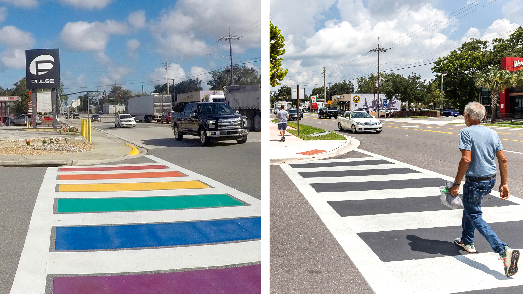
 Florida erases rainbow crosswalk at Pulse nightclub
Speed Read The colorful crosswalk was outside the former LGBTQ nightclub where 49 people were killed in a 2016 shooting
-
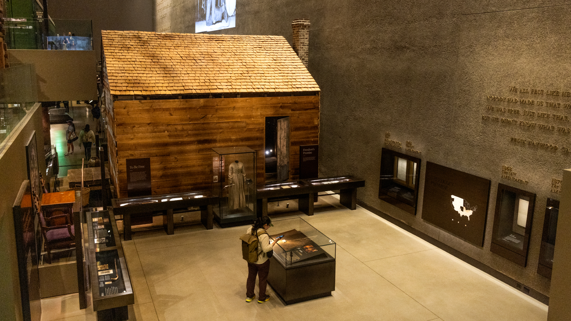
 Trump says Smithsonian too focused on slavery's ills
Speed Read The president would prefer the museum to highlight 'success,' 'brightness' and 'the future'
-
 Trump to host Kennedy Honors for Kiss, Stallone
Speed Read Actor Sylvester Stallone and the glam-rock band Kiss were among those named as this year's inductees
