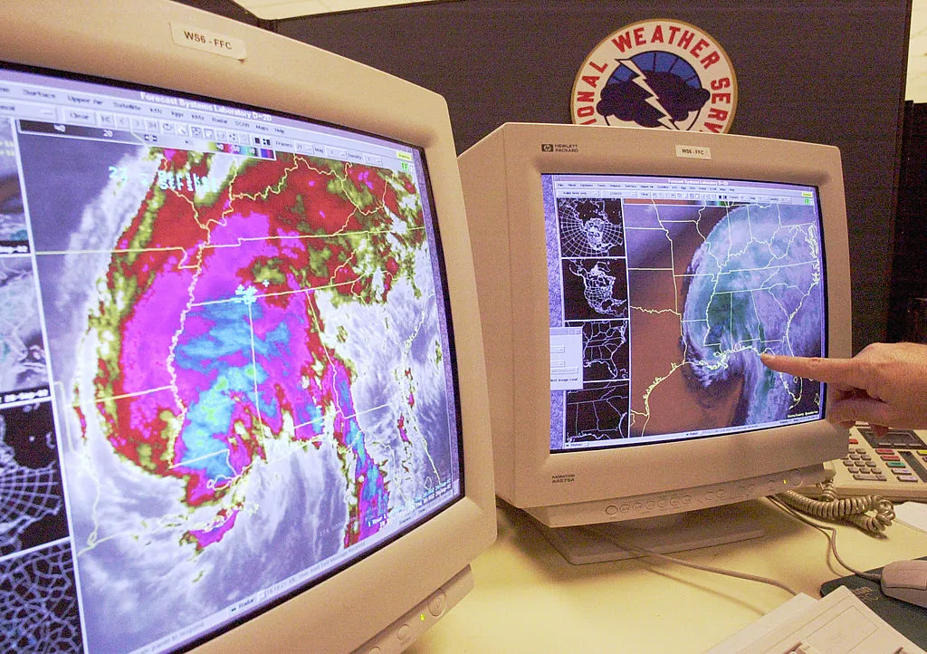
As frequent weather checkers will know, the National Weather Service signifies total rainfall on a map using an array of colors: varying shades of green mark areas where total rainfall ranges from 0.1 inch to 1.5 inches, while the deepest shade of red marks areas where the total rainfall is between 10 and 15 inches.
Prior to Tropical Storm Harvey, the National Weather Service's scale topped off at 15-plus inches of rain. But Harvey's record rainfall — which battered the Texas coast over the weekend and prompted historic flooding in the Houston area — forced the National Weather Service to add a few new colors to its key. Now, a deep purple hue, representing rainfall of 15 to 20 inches, shades much of southeastern Texas; two lighter shades of purple were also added to depict 20 to 30 inches of rain and "greater than 30 inches of rain."
The Week
Escape your echo chamber. Get the facts behind the news, plus analysis from multiple perspectives.

Sign up for The Week's Free Newsletters
From our morning news briefing to a weekly Good News Newsletter, get the best of The Week delivered directly to your inbox.
From our morning news briefing to a weekly Good News Newsletter, get the best of The Week delivered directly to your inbox.
