It sure looks like Trump drew on an official weather map to make Hurricane Dorian seem headed for Alabama

A free daily email with the biggest news stories of the day – and the best features from TheWeek.com
You are now subscribed
Your newsletter sign-up was successful
If there's a massive, Sharpie-driven storm headed for Alabama, President Trump is surely to blame.
Trump's false forecast began with a Sunday tweet claiming Hurricane Dorian would hit "South Carolina, North Carolina, and Alabama ... harder than anticipated." Alabama forecasters and the National Weather Service's Birmingham branch quickly tweeted to say that was absolutely not true, but it didn't stop Trump from suggesting two more times that Dorian would "get a piece of" Alabama.
After another wave of corrections, Trump didn't issue one of his own. He instead attacked ABC News's Jon Karl for fixing the record and again falsely claimed that "it was in fact correct that Alabama could have received some 'hurt.'" It wasn't.
The Week
Escape your echo chamber. Get the facts behind the news, plus analysis from multiple perspectives.

Sign up for The Week's Free Newsletters
From our morning news briefing to a weekly Good News Newsletter, get the best of The Week delivered directly to your inbox.
From our morning news briefing to a weekly Good News Newsletter, get the best of The Week delivered directly to your inbox.
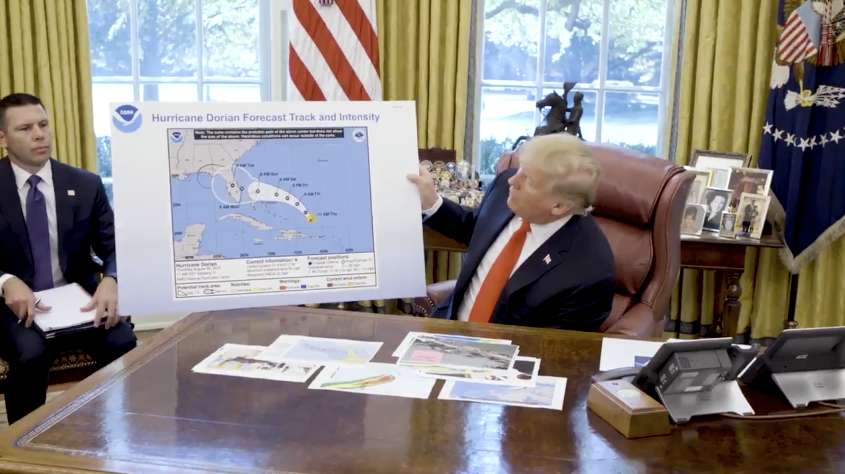
But it looks like Trump had to have the last word, or at least the last drawing. In a video tweeted by the White House on Wednesday, Trump holds up what he calls an early projection map of Hurricane Dorian that shows it headed for a direct hit on Florida. And at the end of that anticipated path, seemingly drawn on with a black marker, there's a very large and very unofficial pimple hovering right over Alabama.
Dorian only ended up grazing Florida after completely demolishing the northern Bahamas, and is now headed toward the Georgia and Carolina coasts.
A free daily email with the biggest news stories of the day – and the best features from TheWeek.com
Kathryn is a graduate of Syracuse University, with degrees in magazine journalism and information technology, along with hours to earn another degree after working at SU's independent paper The Daily Orange. She's currently recovering from a horse addiction while living in New York City, and likes to share her extremely dry sense of humor on Twitter.
-
 Why is the Trump administration talking about ‘Western civilization’?
Talking Points Rubio says Europe, US bonded by religion and ancestry
-
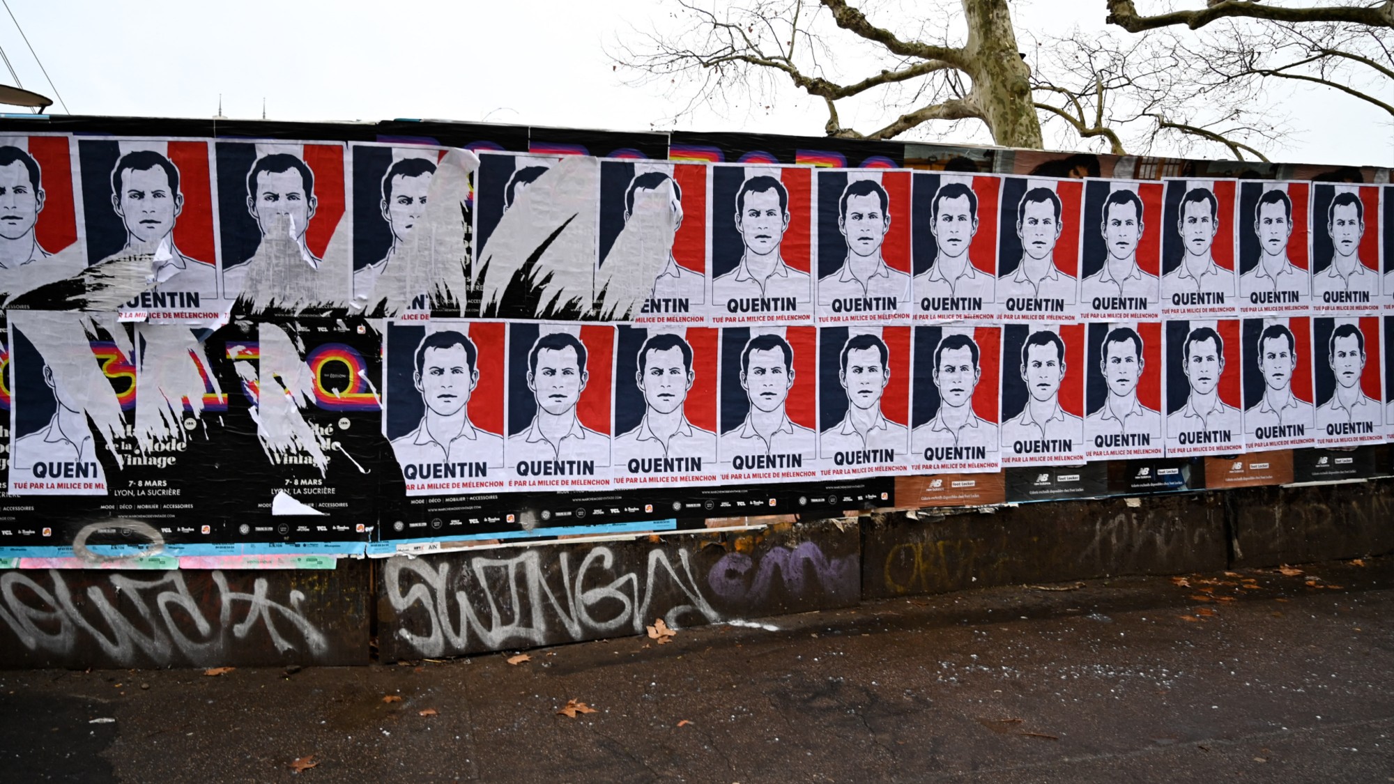 Quentin Deranque: a student’s death energizes the French far right
IN THE SPOTLIGHT Reactions to the violent killing of an ultraconservative activist offer a glimpse at the culture wars roiling France ahead of next year’s elections
-
 Secured vs. unsecured loans: how do they differ and which is better?
the explainer They are distinguished by the level of risk and the inclusion of collateral
-
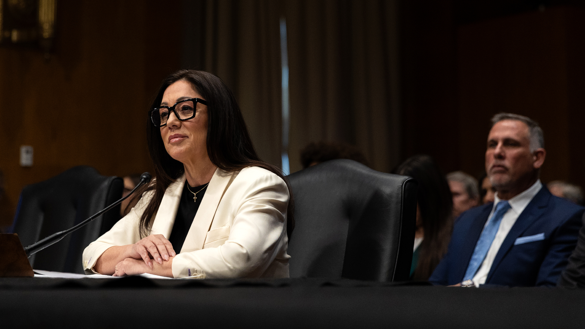 Labor secretary’s husband barred amid assault probe
Speed Read Shawn DeRemer, the husband of Labor Secretary Lori Chavez-DeRemer, has been accused of sexual assault
-
 Trump touts pledges at 1st Board of Peace meeting
Speed Read At the inaugural meeting, the president announced nine countries have agreed to pledge a combined $7 billion for a Gaza relief package
-
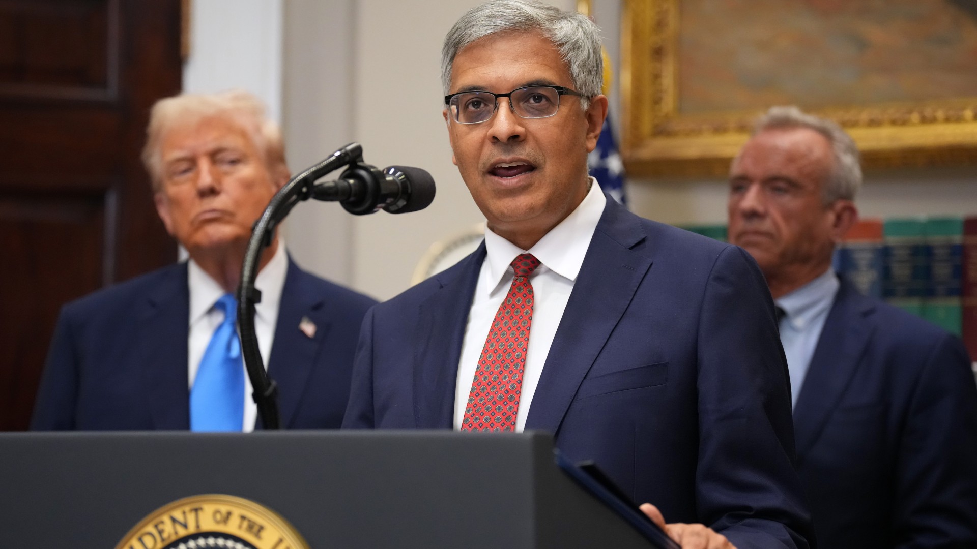 NIH director Bhattacharya tapped as acting CDC head
Speed Read Jay Bhattacharya, a critic of the CDC’s Covid-19 response, will now lead the Centers for Disease Control and Prevention
-
 Witkoff and Kushner tackle Ukraine, Iran in Geneva
Speed Read Steve Witkoff and Jared Kushner held negotiations aimed at securing a nuclear deal with Iran and an end to Russia’s war in Ukraine
-
 Pentagon spokesperson forced out as DHS’s resigns
Speed Read Senior military adviser Col. David Butler was fired by Pete Hegseth and Homeland Security spokesperson Tricia McLaughlin is resigning
-
 Judge orders Washington slavery exhibit restored
Speed Read The Trump administration took down displays about slavery at the President’s House Site in Philadelphia
-
 Hyatt chair joins growing list of Epstein files losers
Speed Read Thomas Pritzker stepped down as executive chair of the Hyatt Hotels Corporation over his ties with Jeffrey Epstein and Ghislaine Maxwell
-
 Judge blocks Hegseth from punishing Kelly over video
Speed Read Defense Secretary Pete Hegseth pushed for the senator to be demoted over a video in which he reminds military officials they should refuse illegal orders
