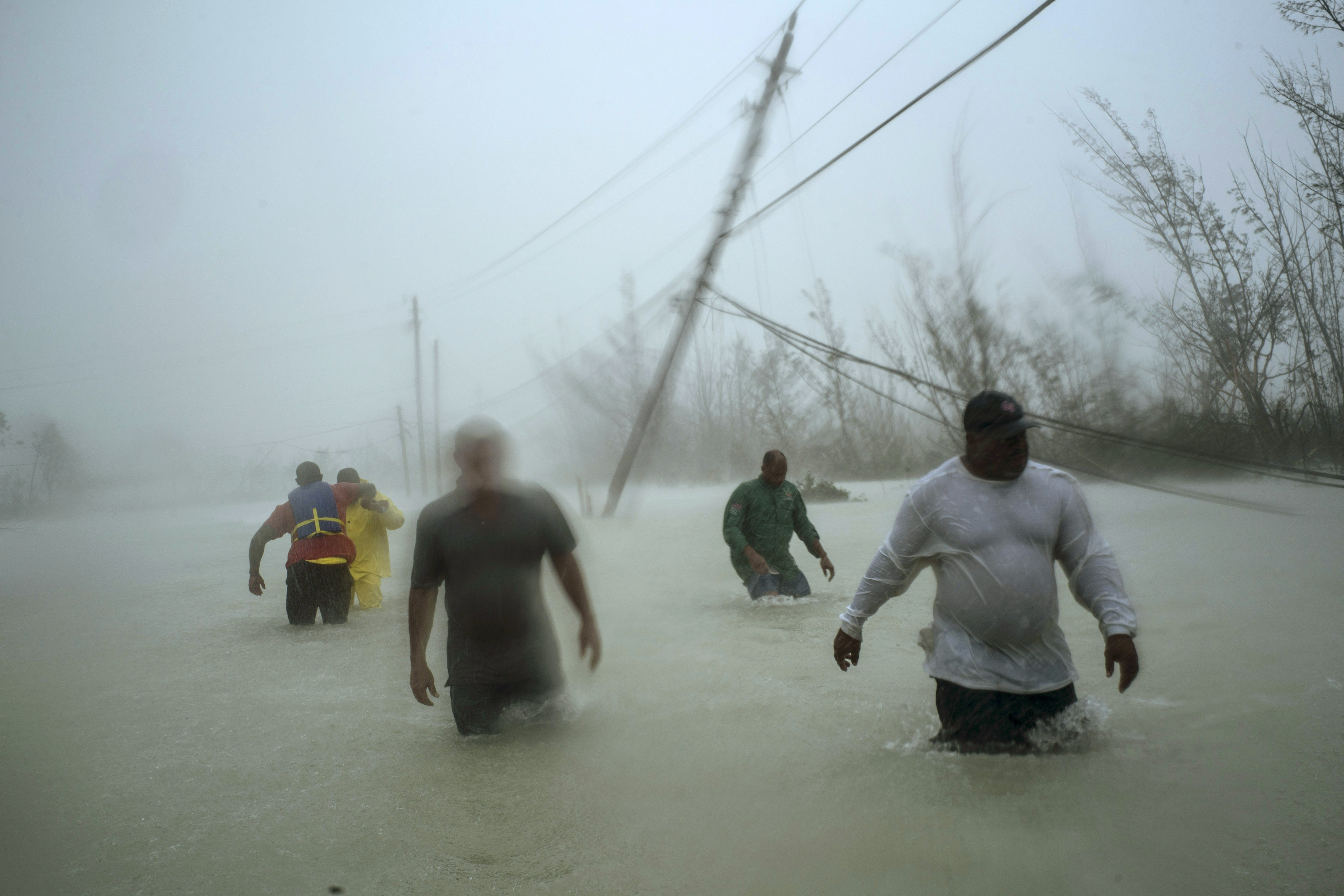
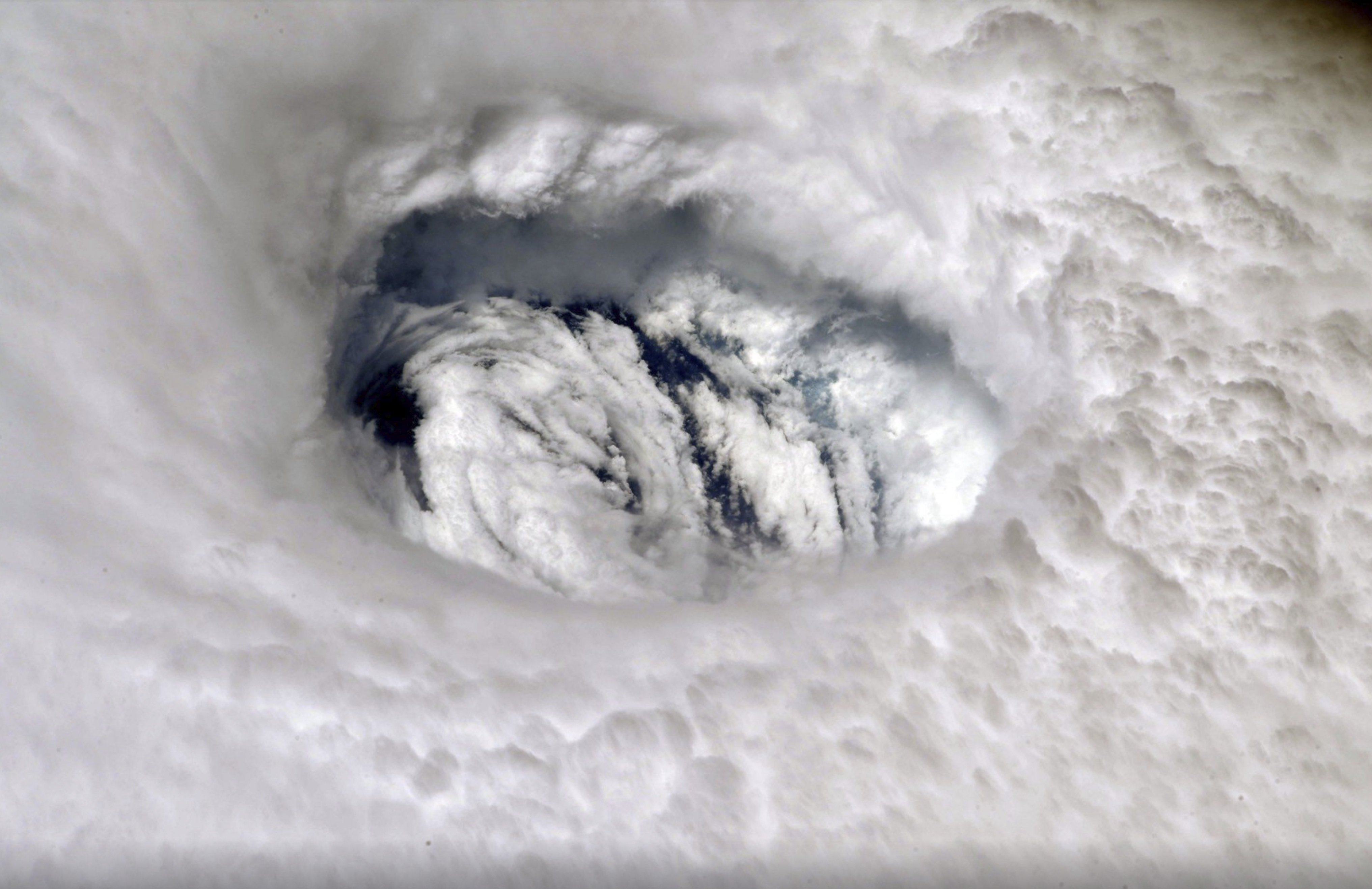
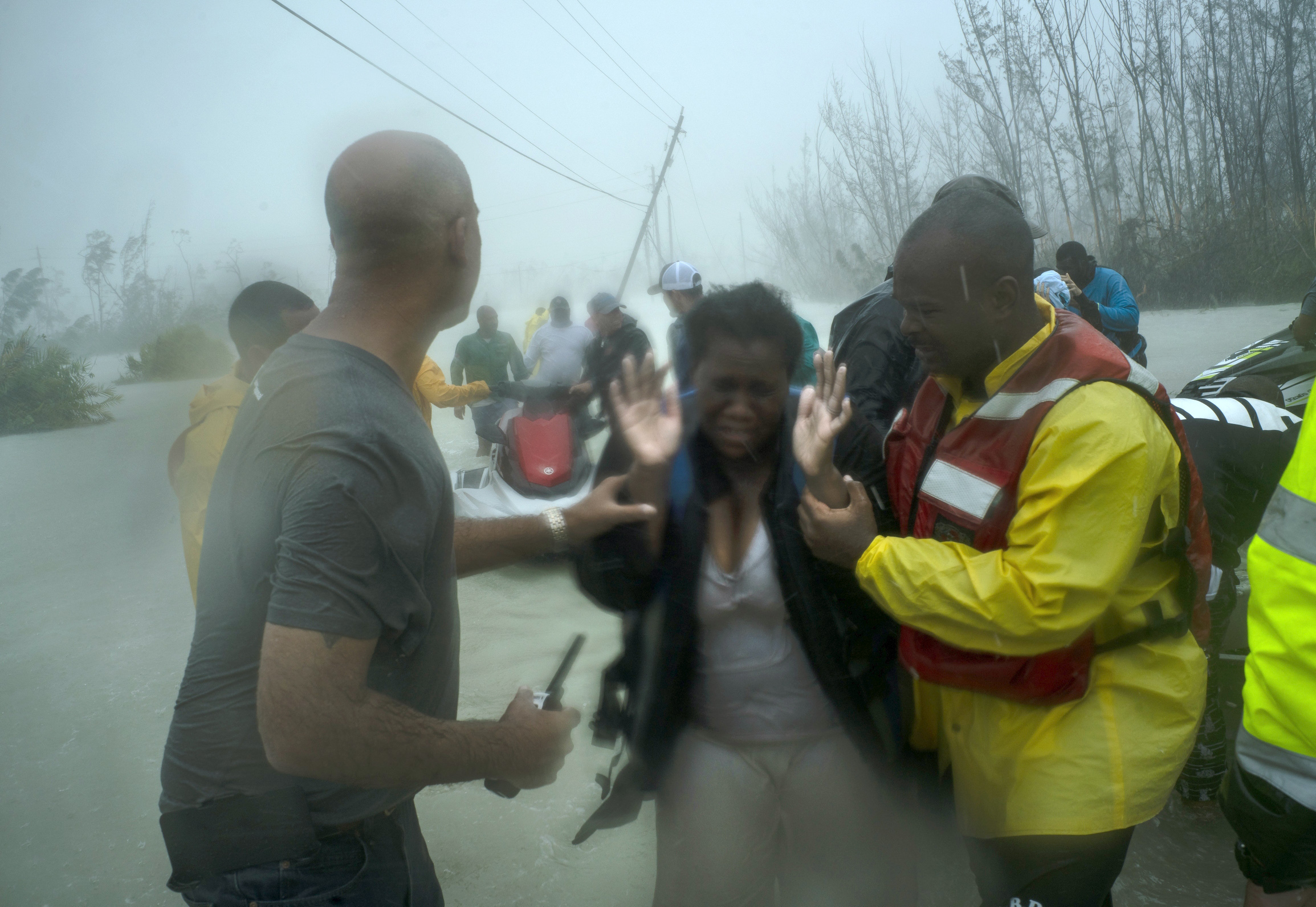
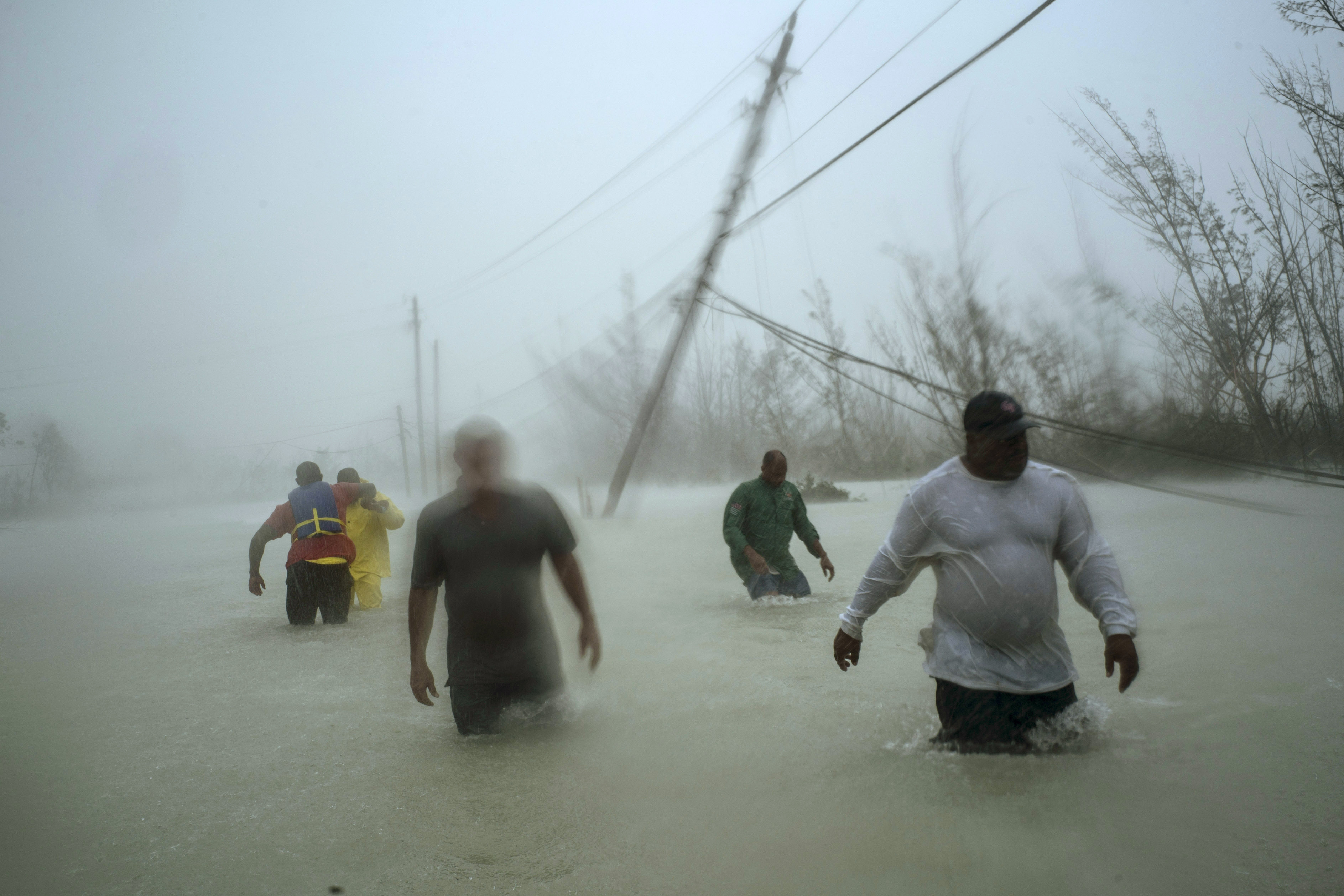
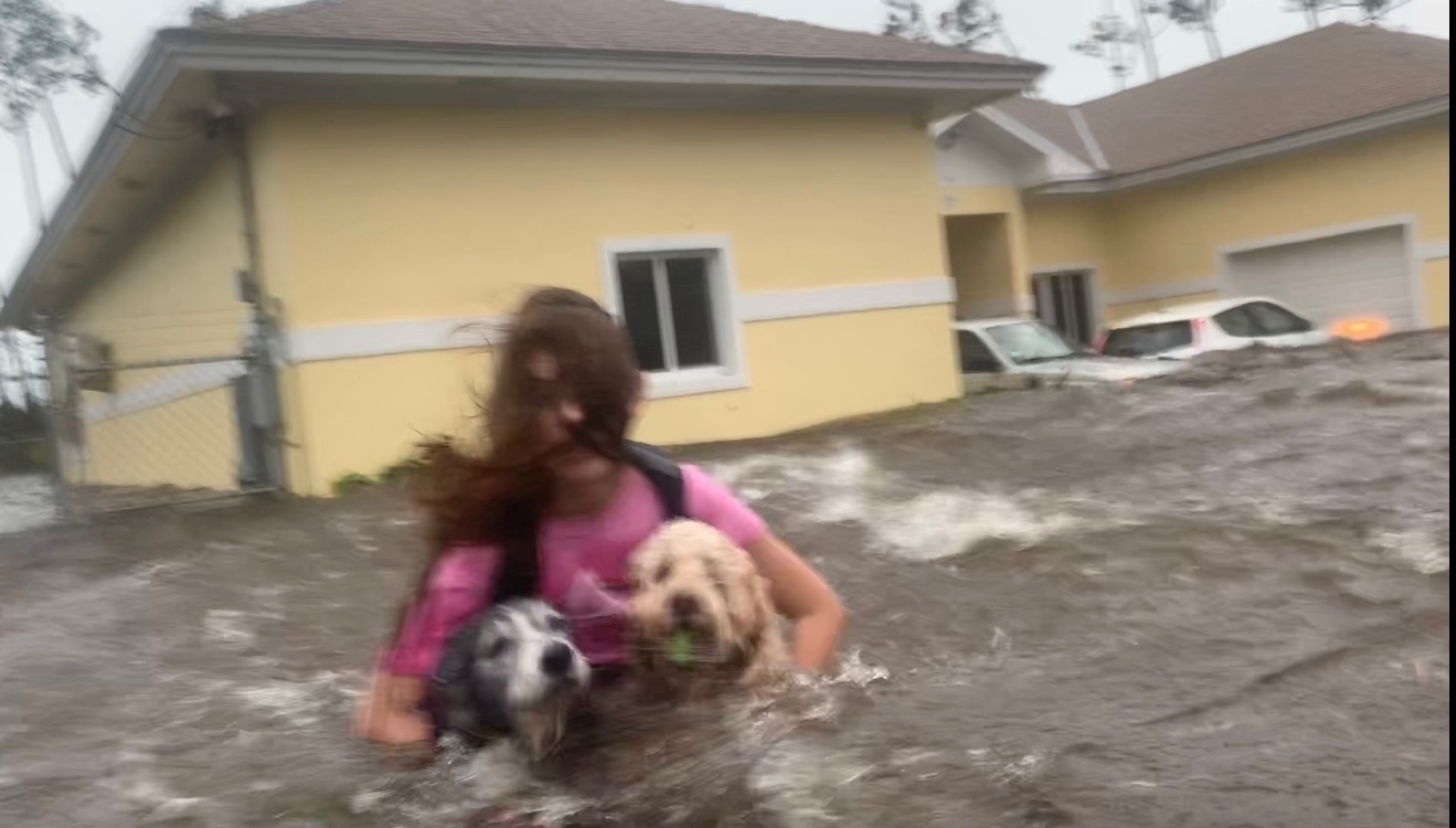
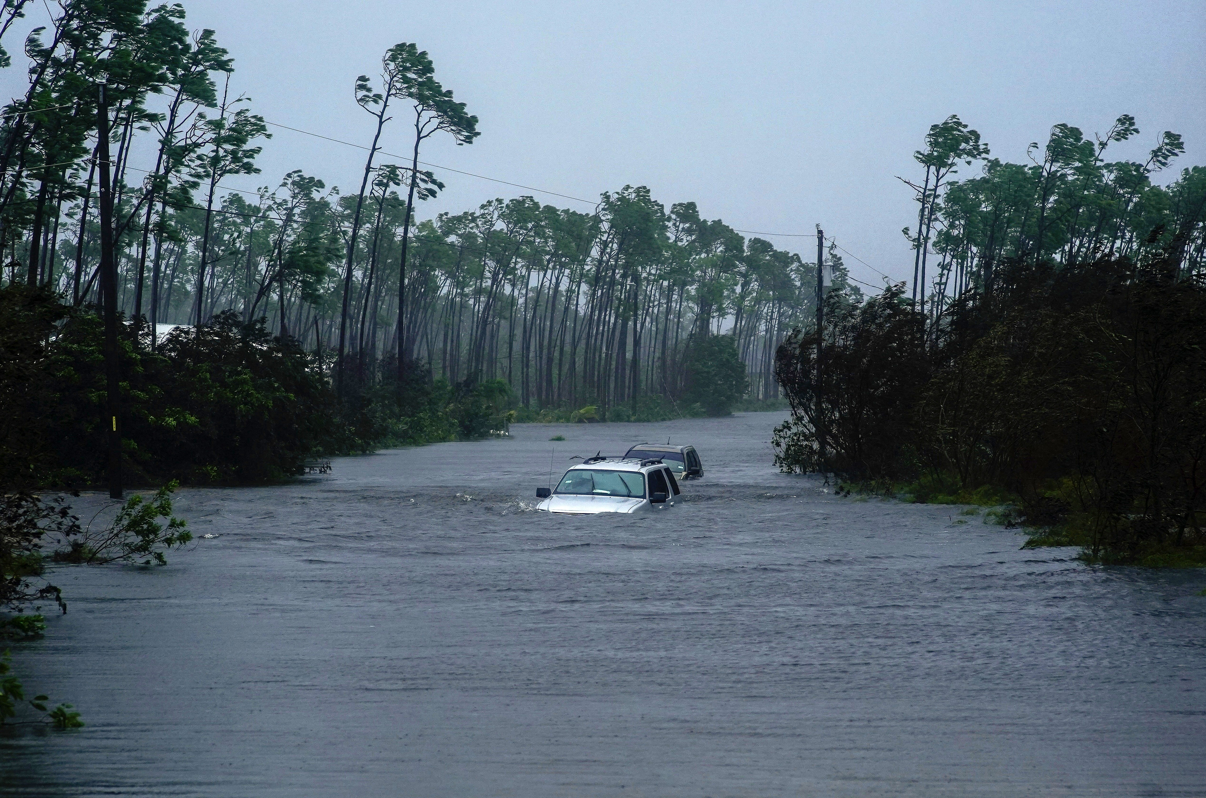
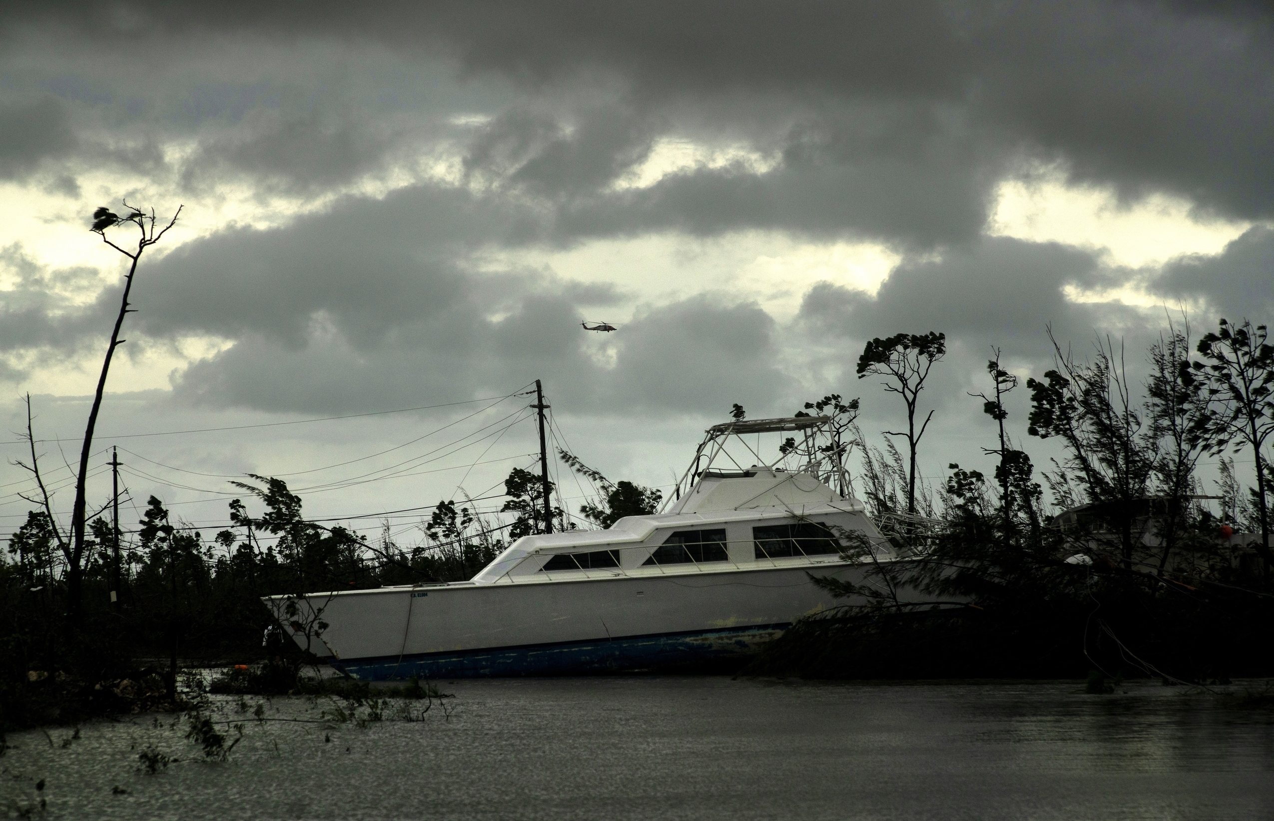
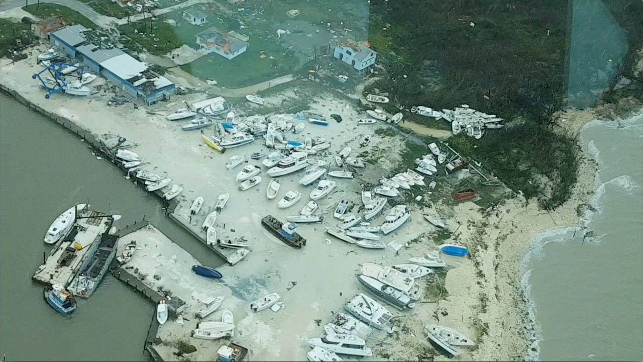
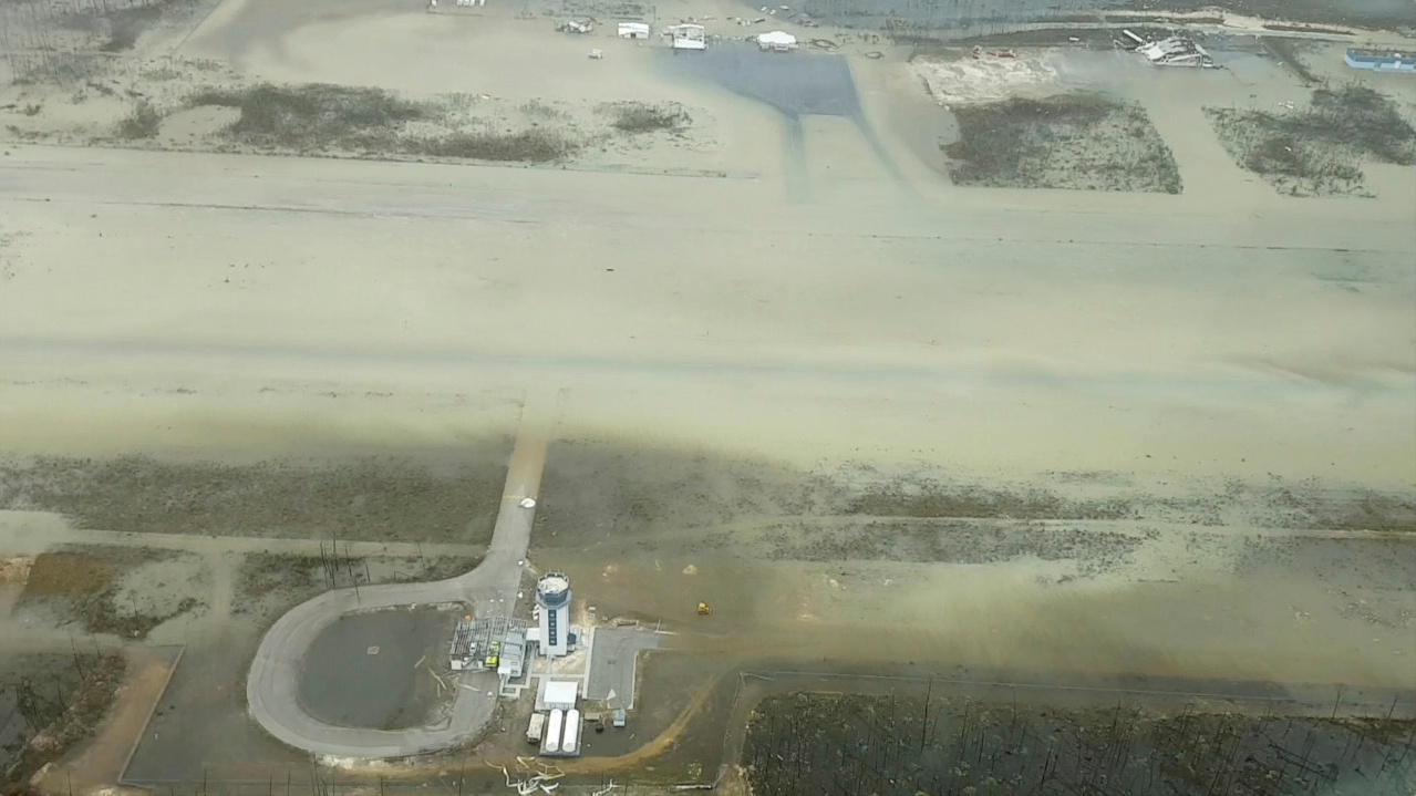
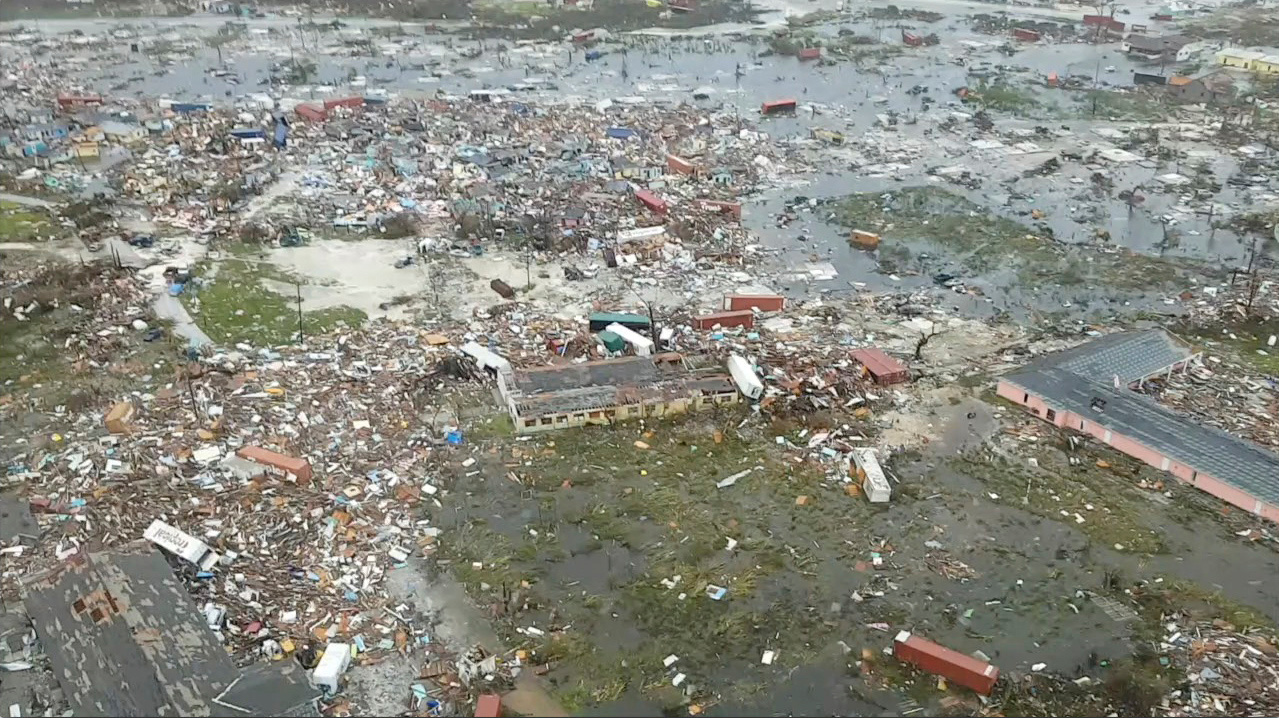
Hurricane Dorian's devastating path through the Bahamas, in 10 photos
The Caribbean islands in the midst of the brutal storm

A free daily email with the biggest news stories of the day – and the best features from TheWeek.com
You are now subscribed
Your newsletter sign-up was successful

A free daily email with the biggest news stories of the day – and the best features from TheWeek.com
Jacob Lambert is the art director of TheWeek.com. He was previously an editor at MAD magazine, and has written and illustrated for The Philadelphia Inquirer, Philadelphia Weekly, and The Millions.
-
 How the FCC’s ‘equal time’ rule works
In the Spotlight The law is at the heart of the Colbert-CBS conflict
-
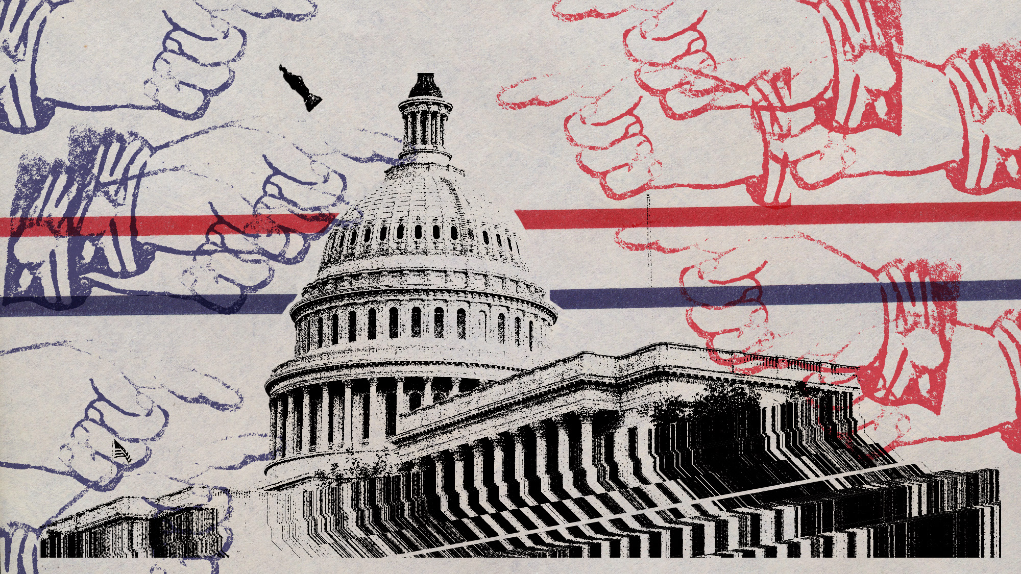 What is the endgame in the DHS shutdown?
Today’s Big Question Democrats want to rein in ICE’s immigration crackdown
-
 ‘Poor time management isn’t just an inconvenience’
Instant Opinion Opinion, comment and editorials of the day
-
 Epstein files topple law CEO, roil UK government
Speed Read Peter Mandelson, Britain’s former ambassador to the US, is caught up in the scandal
-
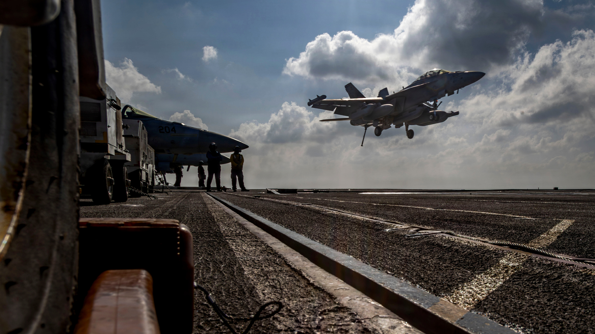 Iran and US prepare to meet after skirmishes
Speed Read The incident comes amid heightened tensions in the Middle East
-
 Israel retrieves final hostage’s body from Gaza
Speed Read The 24-year-old police officer was killed during the initial Hamas attack
-
 China’s Xi targets top general in growing purge
Speed Read Zhang Youxia is being investigated over ‘grave violations’ of the law
-
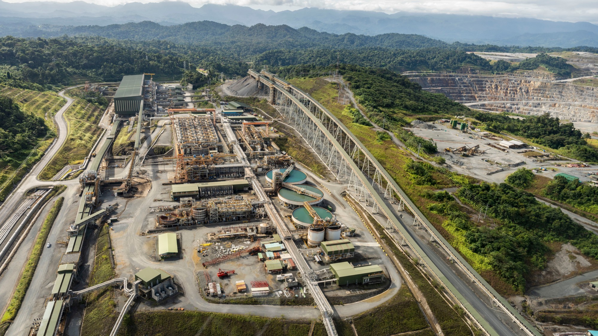 Panama and Canada are negotiating over a crucial copper mine
In the Spotlight Panama is set to make a final decision on the mine this summer
-
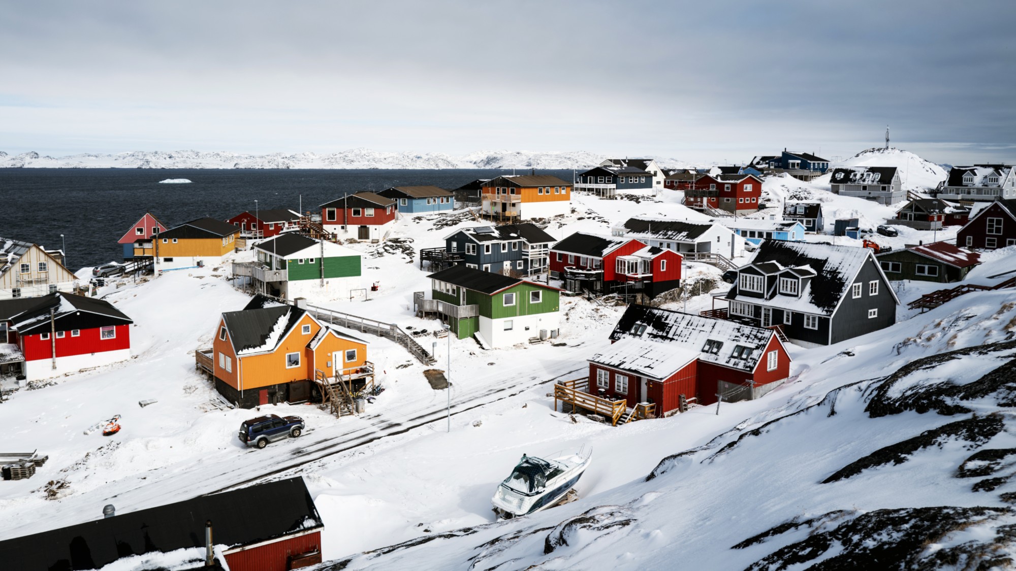 Why Greenland’s natural resources are nearly impossible to mine
The Explainer The country’s natural landscape makes the task extremely difficult
-
 Iran cuts internet as protests escalate
Speed Reada Government buildings across the country have been set on fire
-
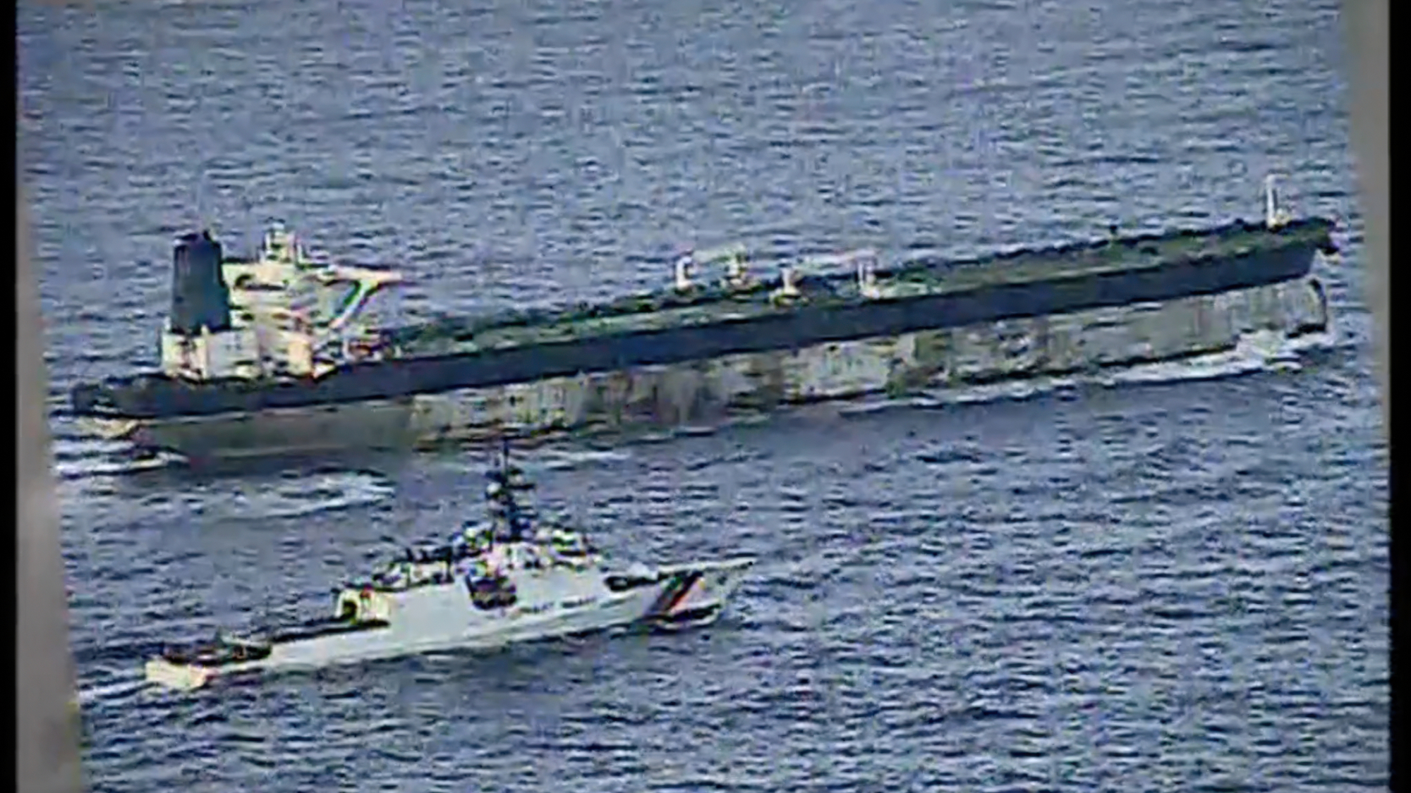 US nabs ‘shadow’ tanker claimed by Russia
Speed Read The ship was one of two vessels seized by the US military
