China blanks out map to hide vast network of Uighur detention camps
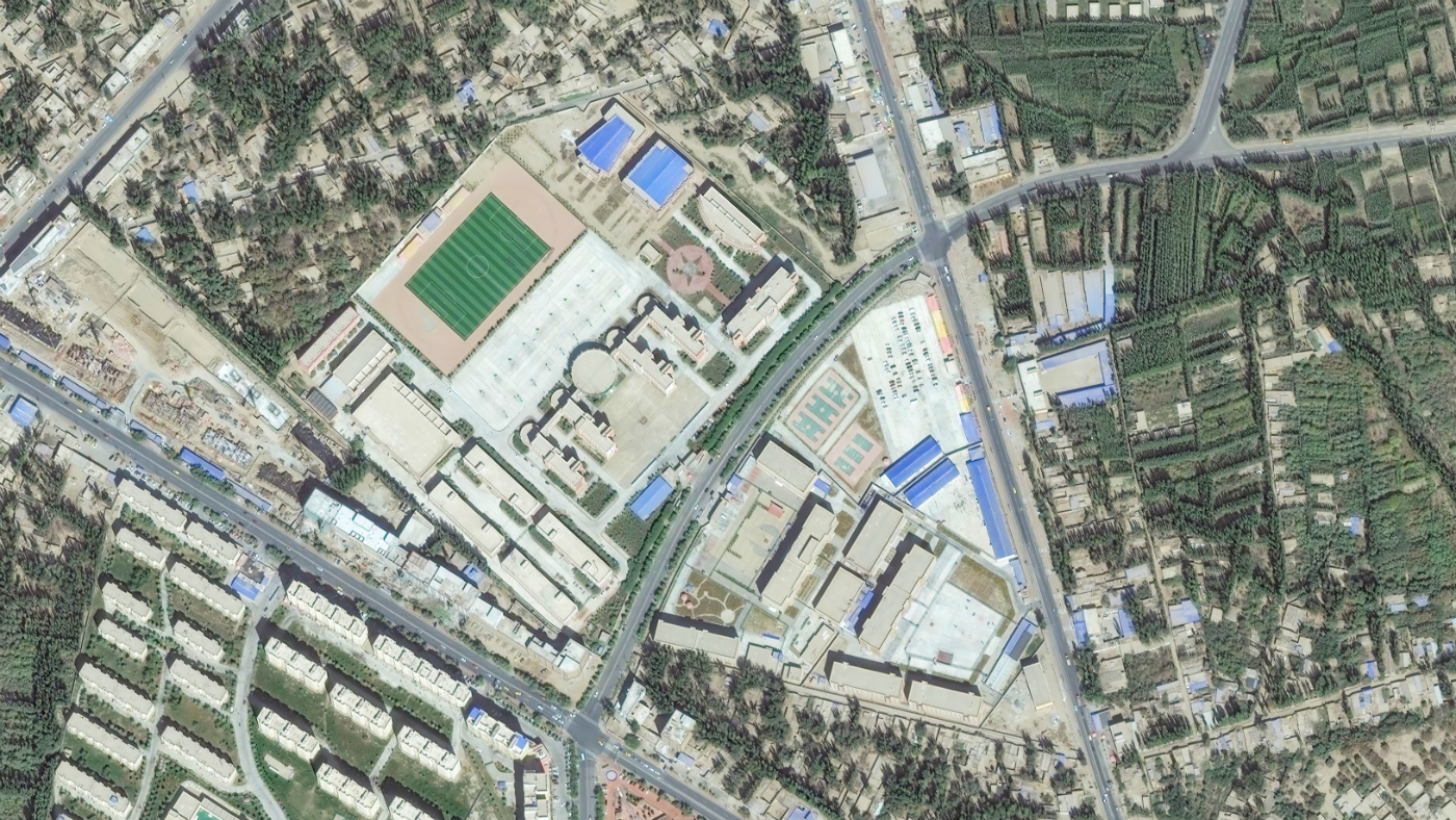
More than 250 newly-built compounds across Xinjiang region appear on western map services
A free daily email with the biggest news stories of the day – and the best features from TheWeek.com
You are now subscribed
Your newsletter sign-up was successful
The Chinese government has been accused of blanking out images of Uighur internment camps from one of the most popular map services in the country.
China is currently under fire for the detention of Uighurs, Kazakhs and other Muslim minorities in the far western Chinese state of Xinjiang, in what the New York Post labels the “largest-scale detention of ethic and religious minorities since World War II”.
By comparing Western and Chinese mapping applications, BuzzFeed this week revealed that Beijing is blocking images of camps, prisons and military facilities when viewed through the Baidu mapping service.
The Week
Escape your echo chamber. Get the facts behind the news, plus analysis from multiple perspectives.

Sign up for The Week's Free Newsletters
From our morning news briefing to a weekly Good News Newsletter, get the best of The Week delivered directly to your inbox.
From our morning news briefing to a weekly Good News Newsletter, get the best of The Week delivered directly to your inbox.
Baidu, which offers a satellite service much like Google Maps, is based in China and is frequently subject to rigorous censorship. But by checking the blanked out spaces, BuzzFeed found a vast network of “268 newly-built compounds”, many of which contain multiple detention facilities.
“Once we found that we could replicate the blank tile phenomenon reliably, we started to look at other camps whose locations were already known to the public to see if we could observe the same thing happening there,” BuzzFeed says.
“Having established that we could probably find internment camps in this way, we examined Baidu’s satellite tiles for the whole of Xinjiang... In total there were five million masked tiles across Xinjiang.
“They seemed to cover any area of even the slightest strategic importance - military bases and training grounds, prisons, power plants, but also mines and some commercial and industrial facilities.”
A free daily email with the biggest news stories of the day – and the best features from TheWeek.com
-
 Minnesota's legal system buckles under Trump's ICE surge
IN THE SPOTLIGHT Mass arrests and chaotic administration have pushed Twin Cities courts to the brink as lawyers and judges alike struggle to keep pace with ICE’s activity
-
 Big-time money squabbles: the conflict over California’s proposed billionaire tax
Talking Points Californians worth more than $1.1 billion would pay a one-time 5% tax
-
 ‘The West needs people’
Instant Opinion Opinion, comment and editorials of the day
-
 Epstein files topple law CEO, roil UK government
Speed Read Peter Mandelson, Britain’s former ambassador to the US, is caught up in the scandal
-
 Iran and US prepare to meet after skirmishes
Speed Read The incident comes amid heightened tensions in the Middle East
-
 Israel retrieves final hostage’s body from Gaza
Speed Read The 24-year-old police officer was killed during the initial Hamas attack
-
 China’s Xi targets top general in growing purge
Speed Read Zhang Youxia is being investigated over ‘grave violations’ of the law
-
 Panama and Canada are negotiating over a crucial copper mine
In the Spotlight Panama is set to make a final decision on the mine this summer
-
 Why Greenland’s natural resources are nearly impossible to mine
The Explainer The country’s natural landscape makes the task extremely difficult
-
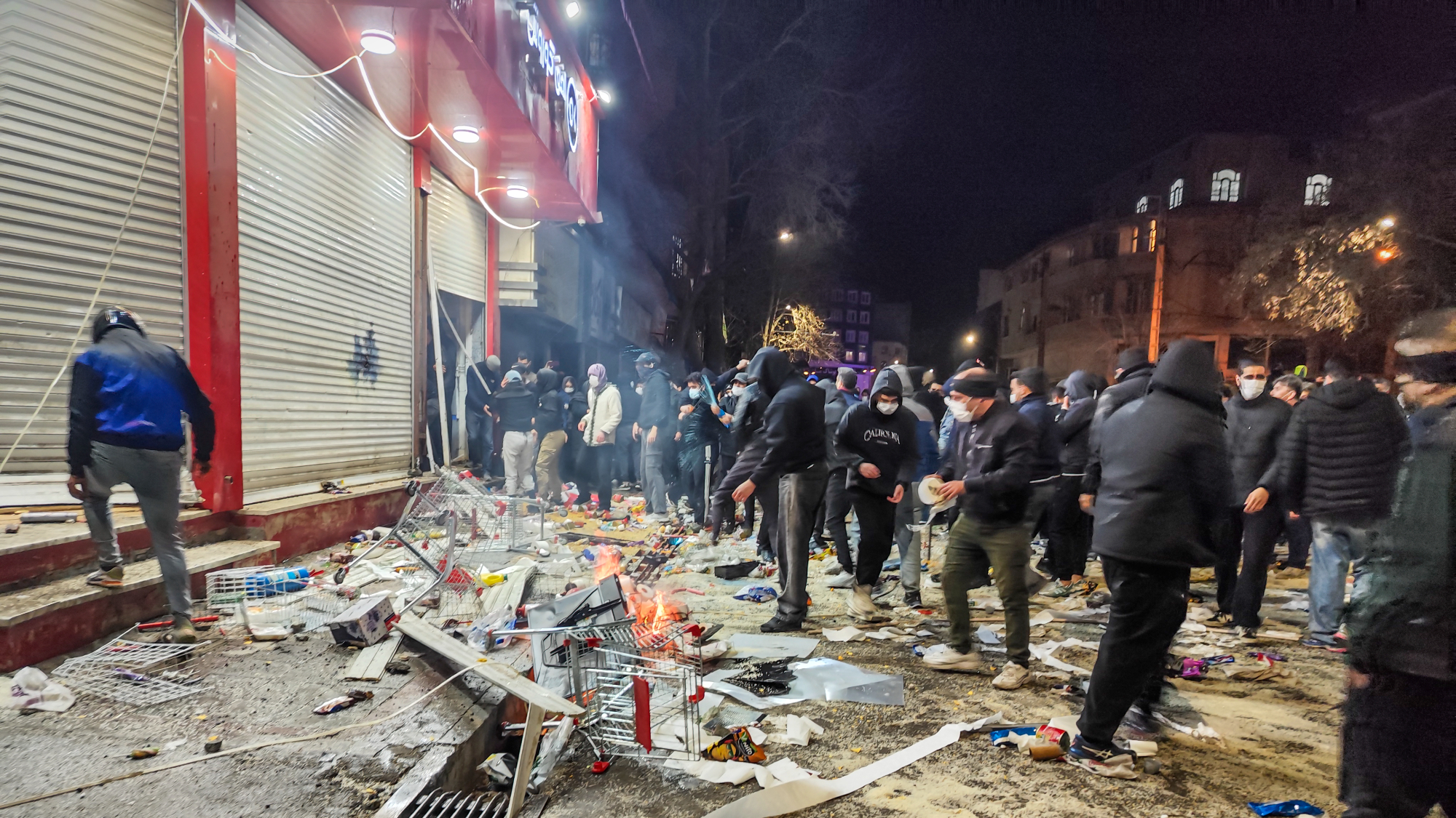 Iran cuts internet as protests escalate
Speed Reada Government buildings across the country have been set on fire
-
 US nabs ‘shadow’ tanker claimed by Russia
Speed Read The ship was one of two vessels seized by the US military